Østre Anlæg, Copenhagen
Map
Gallery

Facts and practical information
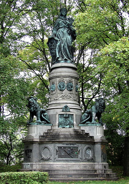
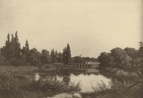
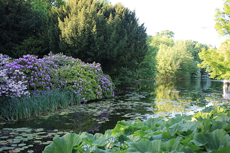
Østre Anlæg is a public park in Copenhagen. Once it was a part of the old city fortifications. The park was designed by landscape architect H.A. Flindt who also designed Ørstedsparken and Copenhagen Botanical Garden on the old fortification. The park lies between The National Art Museum at the southern end, and Oslo Plads and Østerport Station at the northern end. There are three lakes in this park, they used to be part of the moat system. ()
Day trips
Østre Anlæg – popular in the area (distance from the attraction)
Nearby attractions include: Rosenborg, Botanical Garden, National Gallery of Denmark, Hirschsprung Collection.
Frequently Asked Questions (FAQ)
Which popular attractions are close to Østre Anlæg?
Nearby attractions include Stockholmsgade, Copenhagen (3 min walk), Hirschsprung Collection, Copenhagen (4 min walk), Stokhusgade, Copenhagen (4 min walk), Jerusalem's Church, Copenhagen (4 min walk).
How to get to Østre Anlæg by public transport?
The nearest stations to Østre Anlæg:
Bus
Metro
Light rail
Train
Ferry
Bus
- Suensonsgade • Lines: 23 (4 min walk)
- Georg Brandes Plads, Parkmuseerne • Lines: 185, 23, 6A (6 min walk)
Metro
- Østerport • Lines: M3, M4 (8 min walk)
- Marmorkirken • Lines: M3, M4 (13 min walk)
Light rail
- Østerport • Lines: A, B, Bx, C, E, H (8 min walk)
- Nørreport • Lines: A, B, Bx, C, E, H (15 min walk)
Train
- Østerport (10 min walk)
- Nørreport (14 min walk)
Ferry
- Nordre Toldbod • Lines: 991, 992 (20 min walk)
- Nyhavn • Lines: 991, 992 (24 min walk)


 Metro
Metro


