Gentofte Fire Station, Copenhagen

Gallery (1)
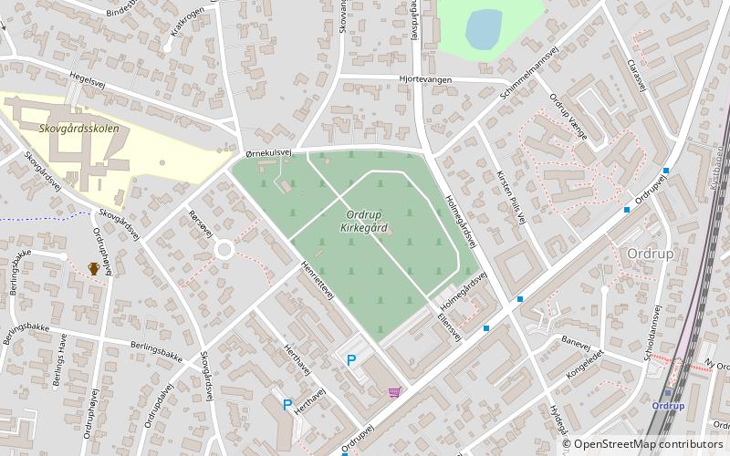
Map

Map
Facts and practical information
Gentofte Fire Station is situated adjacent to Gentofte Town Hall on Bernstorffsvej in Gentofte Municipality, Greater Copenhagen, Denmark. It is operated by Beredskab Øst. ()
Coordinates: 55°44'55"N, 12°33'23"E
Address
Northern SuburbsCopenhagen
ContactAdd
Social media
Add
Getting there by public transportation
Public transportation stops near this location
- Bus
- Light rail
 Bus
Bus
- Calculate routeGentofte Rådhus 2 min walk
- Calculate routeEnighedsvej 10 min walk
- Calculate routeBernstorffsvej St. 12 min walk
- Calculate routeBaunegårdsvej 18 min walk
- Calculate routeBernstorffsvej 11 min walk
- Calculate routeCharlottenlund 17 min walk
- Calculate routeGentofte 18 min walk
- Calculate routeDyssegård 35 min walk
Maps Metro
Metro
MetroDay trips


Frequently Asked Questions (FAQ)
Which popular attractions are close to Gentofte Fire Station?
Nearby attractions include Gentofte Town Hall, Copenhagen (2 min walk), Bernstorffsvej, Copenhagen (10 min walk), Forstbotanisk Have, Copenhagen (18 min walk), Gentofte Municipality, Copenhagen (18 min walk).
How to get to Gentofte Fire Station by public transport?
The nearest stations to Gentofte Fire Station:
Bus
Light rail
Bus
- Gentofte Rådhus • Lines: 185 (2 min walk)
- Enighedsvej • Lines: 185 (10 min walk)
Light rail
- Bernstorffsvej • Lines: A, E (11 min walk)
- Charlottenlund • Lines: C (17 min walk)