Thorsgade, Copenhagen
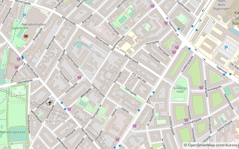
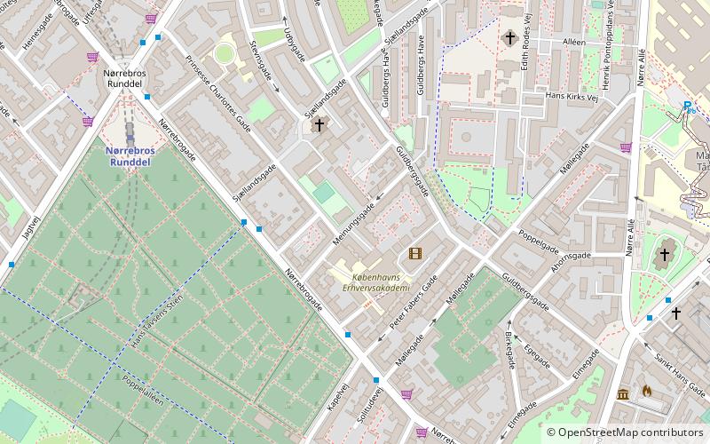
Map

Gallery

Facts and practical information
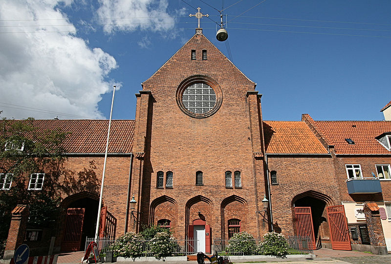
Thorsgade is a mainly residential street in the Mimersgade Quarter of Nørrebro in Copenhagen, Denmark, linking Nørrebrogade in the southwest to Tagensvej in the northeast. The first part of the street is only open to one-way traffic in the direction from Nørrebrogade to Dagmarsgade. The street takes its name after the Norse god Thor. The now decommissioned Samuel's Church is located at No. 65. ()
Coordinates: 55°41'52"N, 12°32'58"E
Address
Nørrebro (P. D. Løvs)Copenhagen
ContactAdd
Social media
Add
Day trips
Thorsgade – popular in the area (distance from the attraction)
Nearby attractions include: Nørrebrogade, Stefanskirken, Assistens Cemetery, Zoologisk Museum.
Frequently Asked Questions (FAQ)
Which popular attractions are close to Thorsgade?
Nearby attractions include Mimersgade, Copenhagen (4 min walk), Jagtvej, Copenhagen (4 min walk), Rådmandsgade, Copenhagen (5 min walk), Stefanskirken, Copenhagen (6 min walk).
How to get to Thorsgade by public transport?
The nearest stations to Thorsgade:
Bus
Metro
Light rail
Train
Bus
- Stevnsgade • Lines: 18 (3 min walk)
- Stefansgade • Lines: 5C (5 min walk)
Metro
- Nørrebros Runddel • Lines: M3 (8 min walk)
- Skjolds Plads • Lines: M3 (11 min walk)
Light rail
- Bispebjerg • Lines: F (17 min walk)
- Nørreport • Lines: A, B, Bx, C, E, H (34 min walk)
Train
- Nørreport (34 min walk)

 Metro
Metro


