Prinsesse Charlottes Gade, Copenhagen

Gallery (4)
Map

Map
Gallery
Facts and practical information
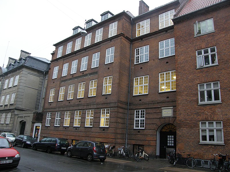
Prinsesse Charlottes Gade is a street in the Nørrebro district of Copenhagen, Denmark, linking Meinungsgade in the southeast with Jagtvej in the northwest. ()
Coordinates: 55°41'37"N, 12°33'7"E
Address
Nørrebro (Fyensgades)Copenhagen
ContactAdd
Social media
Add
Getting there by public transportation
Public transportation stops near this location
- Metro
- Bus
- Light rail
- Train
 Metro
Metro
- Calculate routeSjællandsgade 3 min walk
- Calculate routeNørrebros Runddel St. 3 min walk
- Calculate routeStevnsgade 6 min walk
- Calculate routeKapelvej 7 min walk
- Calculate routeNørrebros Runddel 3 min walk
- Calculate routeNuuks Plads 13 min walk
- Calculate routeSkjolds Plads 18 min walk
- Calculate routeBispebjerg 25 min walk
- Calculate routeNørreport 27 min walk
- Calculate routeNørreport 27 min walk
Maps Metro
Metro
MetroDay trips
Prinsesse Charlottes Gade – popular in the area (distance from the attraction)
Nearby attractions include: Nørrebrogade, Stefanskirken, Assistens Cemetery, Hans Tavsens Park.


Frequently Asked Questions (FAQ)
Which popular attractions are close to Prinsesse Charlottes Gade?
Nearby attractions include Sjællandsgade Bad, Copenhagen (2 min walk), Guldbergsgade, Copenhagen (4 min walk), Meinungsgade, Copenhagen (4 min walk), Jagtvej, Copenhagen (5 min walk).
How to get to Prinsesse Charlottes Gade by public transport?
The nearest stations to Prinsesse Charlottes Gade:
Bus
Metro
Light rail
Train
Bus
- Sjællandsgade • Lines: 5C (3 min walk)
- Nørrebros Runddel St. • Lines: 18, 5C (3 min walk)
Metro
- Nørrebros Runddel • Lines: M3 (3 min walk)
- Nuuks Plads • Lines: M3 (13 min walk)
Light rail
- Bispebjerg • Lines: F (25 min walk)
- Nørreport • Lines: A, B, Bx, C, E, H (27 min walk)
Train
- Nørreport (27 min walk)