Anna Church, Copenhagen

Gallery (4)
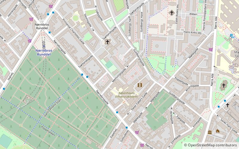
Map

Map
Gallery
Facts and practical information
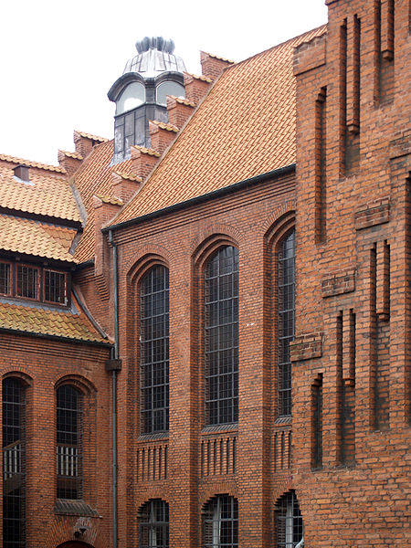
Anna Church is a Lutheran church in the Nørrebro district of Copenhagen, Denmark. It was designed by Peder Vilhelm Jensen-Klint, best known for his design of Grundtvig's Church, also in Copenhagen. Built in three stages, it was completed between 1914 and 1928. ()
Getting there by public transportation
Public transportation stops near this location
- Metro
- Bus
- Light rail
- Train
 Metro
Metro
- Calculate routeJægersborggade 3 min walk
- Calculate routeNørrebros Runddel St. 6 min walk
- Calculate routeBorups Plads 6 min walk
- Calculate routeStefansgade 7 min walk
- Calculate routeNørrebros Runddel 5 min walk
- Calculate routeNuuks Plads 9 min walk
- Calculate routeAksel Møllers Have 17 min walk
- Calculate routeBispebjerg 24 min walk
- Calculate routeNørreport 33 min walk
- Calculate routeVesterport 35 min walk
- Calculate routeNørreport 33 min walk
Maps Metro
Metro
MetroDay trips


Frequently Asked Questions (FAQ)
Which popular attractions are close to Anna Church?
Nearby attractions include Stefansgade, Copenhagen (3 min walk), Nørrebroparken, Copenhagen (6 min walk), Stefanskirken, Copenhagen (7 min walk), Assistens Cemetery, Copenhagen (7 min walk).
How to get to Anna Church by public transport?
The nearest stations to Anna Church:
Bus
Metro
Light rail
Train
Bus
- Jægersborggade • Lines: 18 (3 min walk)
- Nørrebros Runddel St. • Lines: 18, 5C (6 min walk)
Metro
- Nørrebros Runddel • Lines: M3 (5 min walk)
- Nuuks Plads • Lines: M3 (9 min walk)
Light rail
- Bispebjerg • Lines: F (24 min walk)
- Nørreport • Lines: A, B, Bx, C, E, H (33 min walk)
Train
- Nørreport (33 min walk)