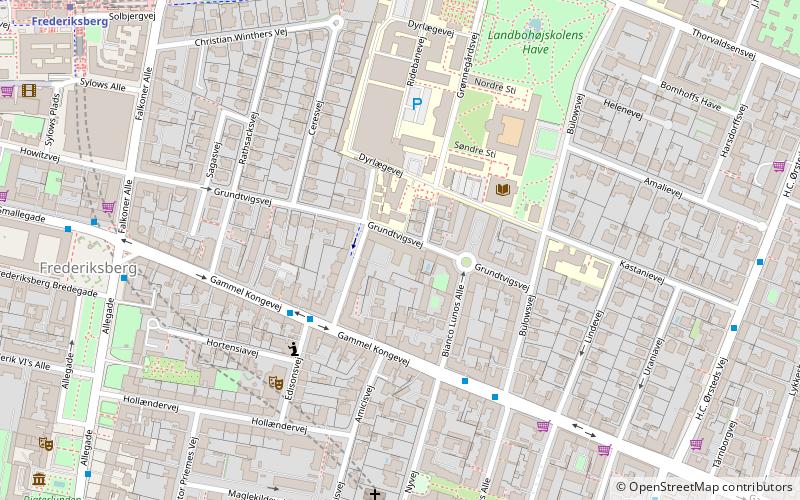
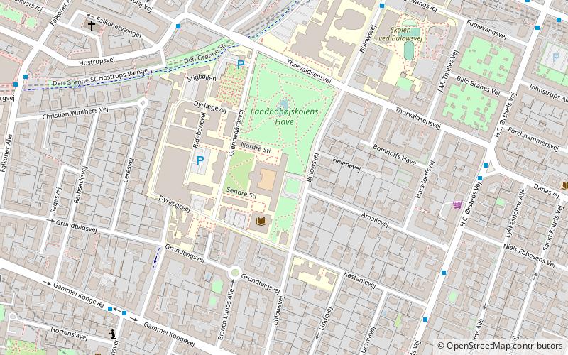
Grundtvigsvej, Copenhagen
Map
Facts and practical information
Grundtvigsvej is a street in the Frederiksberg district of Copenhagen, Denmark. It runs from Bülowsvej in the east to Falkoner Allé in the west. Grundtvigsvej School, a public primary school, is located at No. 11. ()
Coordinates: 55°40'42"N, 12°32'21"E
Address
FrederiksbergCopenhagen
ContactAdd
Social media
Add
Getting there by public transportation
Public transportation stops near this location
- Metro
- Bus
- Light rail
- Train
- Ferry
 Metro
Metro
- Calculate routeHenrik Steffens Vej 3 min walk
- Calculate routeBülowsvej 4 min walk
- Calculate routeDr. Abildgaards Allé 8 min walk
- Calculate routeFrederiksberg Rådhus 8 min walk
- Calculate routeFrederiksberg Allé 9 min walk
- Calculate routeFrederiksberg 9 min walk
- Calculate routeForum 15 min walk
- Calculate routeAksel Møllers Have 16 min walk
- Calculate routeVesterport 24 min walk
- Calculate routeCarlsberg 27 min walk
- Calculate routeCopenhagen Central Station 28 min walk
- Calculate routeDybbølsbro 31 min walk
- Calculate routeCopenhagen Central Station 28 min walk
- Calculate routeHavneholmen 36 min walk
- Calculate routeValby 37 min walk
- Calculate routeBryggebroen 42 min walk
Maps Metro
Metro
MetroDay trips
Grundtvigsvej – popular in the area (distance from the attraction)
Nearby attractions include: Værnedamsvej, Storm P. Museum, Revymuseet, Frederiksberg Town Hall.


Frequently Asked Questions (FAQ)
Which popular attractions are close to Grundtvigsvej?
Nearby attractions include Bianco Lunos Allé, Copenhagen (2 min walk), University of Copenhagen Faculty of Life Sciences, Copenhagen (4 min walk), Amalievej, Copenhagen (6 min walk), Copenhagen/Frederiksberg, Copenhagen (7 min walk).
How to get to Grundtvigsvej by public transport?
The nearest stations to Grundtvigsvej:
Bus
Metro
Light rail
Train
Ferry
Bus
- Henrik Steffens Vej • Lines: 9A (3 min walk)
- Bülowsvej • Lines: 9A (4 min walk)
Metro
- Frederiksberg Allé • Lines: M3 (9 min walk)
- Frederiksberg • Lines: M1, M2, M3 (9 min walk)
Light rail
- Vesterport • Lines: A, B, Bx, C, E, H (24 min walk)
- Carlsberg • Lines: B, Bx, C, H (27 min walk)
Train
- Copenhagen Central Station (28 min walk)
- Havneholmen (36 min walk)
Ferry
- Bryggebroen • Lines: 991, 992 (42 min walk)