Admiralgade 19, Copenhagen
Map

Gallery

Facts and practical information
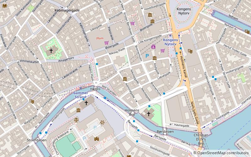
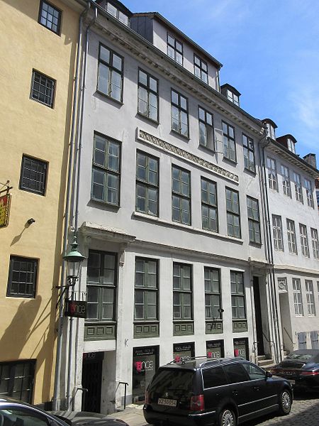
Admiralgade 19 is a Neoclassical property situated off Nikolaj Plads in central Copenhagen, Denmark. The building was like most of the other buildings in the neighborhood constructed as part of the rebuilding of the city after the Copenhagen Fire of 1795. It was listed in the Danish registry of protected buildings and places in 1945. ()
Coordinates: 55°40'41"N, 12°34'55"E
Address
Indre By (Strøget)Copenhagen
Contact
+45 33 13 33 77
Social media
Add
Day trips
Admiralgade 19 – popular in the area (distance from the attraction)
Nearby attractions include: Købmagergade, Karel van Mander House, Strædet, Ved Stranden 10.
Frequently Asked Questions (FAQ)
Which popular attractions are close to Admiralgade 19?
Nearby attractions include Buurmester House, Copenhagen (1 min walk), Dybensgade 22, Copenhagen (1 min walk), Fortunstræde 1, Copenhagen (1 min walk), Admiralgade, Copenhagen (1 min walk).
How to get to Admiralgade 19 by public transport?
The nearest stations to Admiralgade 19:
Bus
Metro
Ferry
Train
Light rail
Bus
- Holmens Kirke • Lines: 23 (3 min walk)
- Gammel Strand St., Christiansborg • Lines: 23, 2A (3 min walk)
Metro
- Gammel Strand • Lines: M3, M4 (4 min walk)
- Kongens Nytorv • Lines: M1, M2, M3, M4 (5 min walk)
Ferry
- Knippelsbro • Lines: 991, 992 (9 min walk)
- Det Kongelige Bibliotek • Lines: 991, 992 (11 min walk)
Train
- Nørreport (14 min walk)
- Copenhagen Central Station (20 min walk)
Light rail
- Nørreport • Lines: A, B, Bx, C, E, H (14 min walk)
- Vesterport • Lines: A, B, Bx, C, E, H (20 min walk)

 Metro
Metro


