Jægersborg Allé, Skodsborg
Map
Facts and practical information
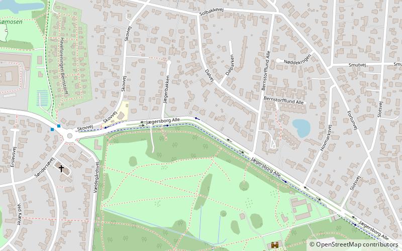
Hægersborg Allé is a major street in the Charlottenlund and Jægersborg neighborhoods of Gentofte Municipality in the northern suburbs of Copenhagen, Denmark. It runs from Strandvejen in the southeast to a junction just east of Kægersborg station in the northwest. The first leg of the road passes through Charlottenlund Forest, and it later follows the north boundary of Bernstorff Park. It passes a number of historic buildings, including Charlottenlund Palace, Bernstorff Palace and Schæffergården. ()
Coordinates: 55°45'41"N, 12°32'57"E
Address
Northern Suburbs (Charlottenlund)Skodsborg
ContactAdd
Social media
Add
Getting there by public transportation
Public transportation stops near this location
- Bus
- Light rail
 Bus
Bus
- Calculate routeRosenstandsvej 16 min walk
- Calculate routeEnighedsvej 16 min walk
- Calculate routeVilvordevej, Ordrupgaard 18 min walk
- Calculate routeRødeport 20 min walk
- Calculate routeGentofte 16 min walk
- Calculate routeJægersborg 28 min walk
- Calculate routeCharlottenlund 29 min walk
Day trips


Frequently Asked Questions (FAQ)
Which popular attractions are close to Jægersborg Allé?
Nearby attractions include Ordrupgaard, Copenhagen (18 min walk), Ermelunden, Skodsborg (19 min walk), Gentofte Municipality, Copenhagen (20 min walk), Sct. Andreas Kirke, Copenhagen (20 min walk).
How to get to Jægersborg Allé by public transport?
The nearest stations to Jægersborg Allé:
Bus
Light rail
Bus
- Rosenstandsvej • Lines: 185 (16 min walk)
- Enighedsvej • Lines: 185 (16 min walk)
Light rail
- Gentofte • Lines: A, E (16 min walk)
- Jægersborg • Lines: 910, A, E (28 min walk)