Vanløse, Copenhagen
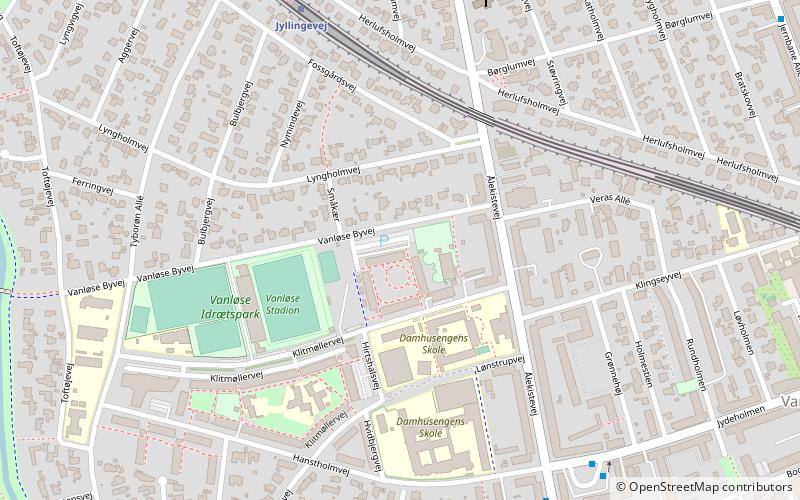
Map
Facts and practical information
Vanløse is one of the 10 official districts of Copenhagen, Denmark. It lies on the western border of the municipality. Vanløse covers an area of 6.69 km², and has a population of 36,115, making Vanløse the smallest district of Copenhagen, by population. ()
Address
Vanløse (Rubjerg)Copenhagen
ContactAdd
Social media
Add
Getting there by public transportation
Public transportation stops near this location
- Metro
- Bus
- Light rail
 Metro
Metro
- Calculate routeJyllingevej 6 min walk
- Calculate routeVanløse 12 min walk
- Calculate routeFlintholm 19 min walk
- Calculate routeKB Hallen 21 min walk
- Calculate routeJydeholmen 7 min walk
- Calculate routeÅlekistevej 7 min walk
- Calculate routeVanløse, Ålekistevej 7 min walk
- Calculate routeJyllingevej St. 7 min walk
- Calculate routeVanløse 13 min walk
- Calculate routeFlintholm 20 min walk
Maps Metro
Metro
MetroDay trips


Frequently Asked Questions (FAQ)
Which popular attractions are close to Vanløse?
Nearby attractions include Heerup Museum, Copenhagen (16 min walk), Damhus Lake, Copenhagen (20 min walk), Sønderjyllands Allé, Copenhagen (21 min walk), K.B. Hallen, Copenhagen (24 min walk).
How to get to Vanløse by public transport?
The nearest stations to Vanløse:
Light rail
Bus
Metro
Light rail
- Jyllingevej • Lines: C (6 min walk)
- Vanløse • Lines: C, H (12 min walk)
Bus
- Jydeholmen • Lines: 10, 22 (7 min walk)
- Ålekistevej • Lines: 10 (7 min walk)
Metro
- Vanløse • Lines: M1, M2 (13 min walk)
- Flintholm • Lines: M1, M2 (20 min walk)