Reunification Monument, Copenhagen
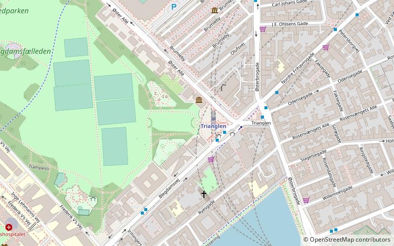
Map
Facts and practical information
The Reunification Monument marks the main entrance to Fælled Park from Trianglen in the Østerbro district of Copenhagen, Denmark. It was created, by the artist Axel Poulsen in collaboration with the architect Holger Jacobsen, to commemorate the reunification of Sønderjylland with Denmark in 1920. ()
Coordinates: 55°41'57"N, 12°34'29"E
Address
Østerbros (Rigshospitalets)Copenhagen
ContactAdd
Social media
Add
Getting there by public transportation
Public transportation stops near this location
- Metro
- Bus
- Light rail
- Train
- Ferry
 Metro
Metro
- Calculate routeTrianglen 1 min walk
- Calculate routeØsterport 16 min walk
- Calculate routeVibenhus Runddel 17 min walk
- Calculate routePoul Henningsens Plads 19 min walk
- Calculate routeTrianglen St. 3 min walk
- Calculate routeIrmingersgade 5 min walk
- Calculate routeGustav Adolfs Gade 7 min walk
- Calculate routeRandersgade 8 min walk
- Calculate routeØsterport 17 min walk
- Calculate routeNordhavn 20 min walk
- Calculate routeNørreport 28 min walk
- Calculate routeSvanemøllen 30 min walk
- Calculate routeØsterport 18 min walk
- Calculate routeNørreport 28 min walk
- Calculate routeNordre Toldbod 32 min walk
Maps Metro
Metro
MetroDay trips


Frequently Asked Questions (FAQ)
Which popular attractions are close to Reunification Monument?
Nearby attractions include Enigma, Copenhagen (1 min walk), Trianglen, Copenhagen (3 min walk), Nazareth Church, Copenhagen (4 min walk), Niels Bohr Institute, Copenhagen (5 min walk).
How to get to Reunification Monument by public transport?
The nearest stations to Reunification Monument:
Metro
Bus
Light rail
Train
Ferry
Metro
- Trianglen • Lines: M3 (1 min walk)
- Østerport • Lines: M3, M4 (16 min walk)
Bus
- Trianglen St. • Lines: 14, 1A (3 min walk)
- Irmingersgade • Lines: 1A (5 min walk)
Light rail
- Østerport • Lines: A, B, Bx, C, E, H (17 min walk)
- Nordhavn • Lines: A, B, Bx, C, E (20 min walk)
Train
- Østerport (18 min walk)
- Nørreport (28 min walk)
Ferry
- Nordre Toldbod • Lines: 991, 992 (32 min walk)