Sankt Annæ Plads, Copenhagen
Facts and practical information
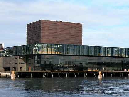
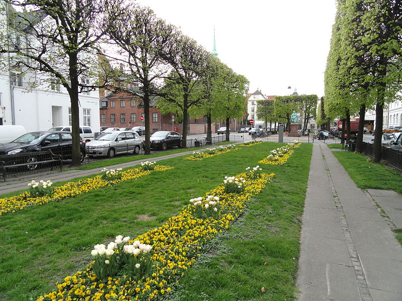
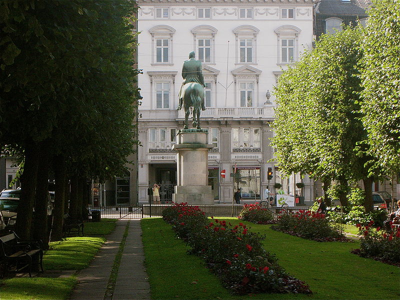
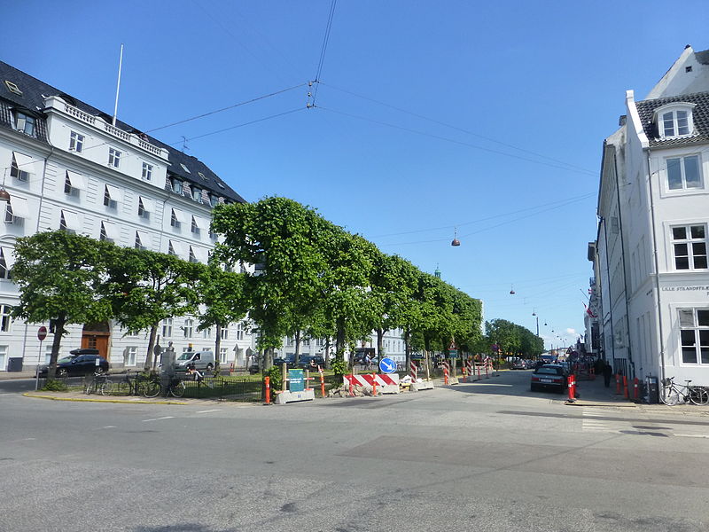
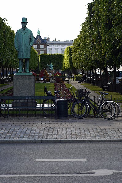
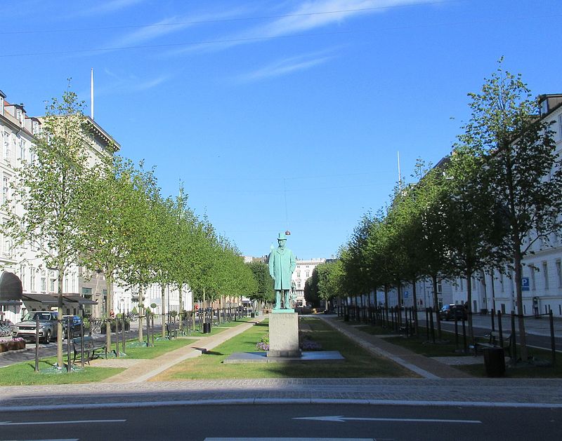
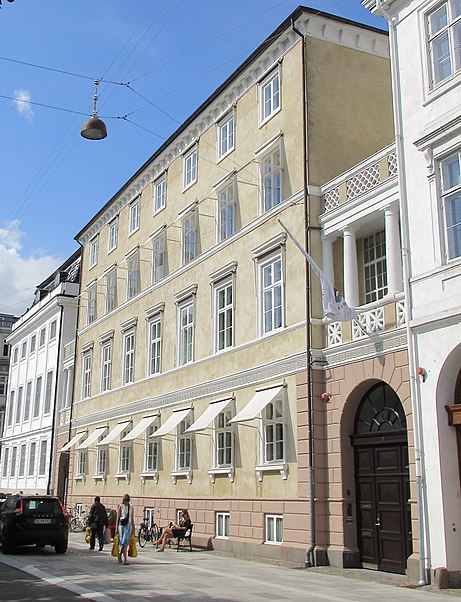
Sankt Annæ Plads is a public square which marks the border between the Nyhavn area and Frederiksstaden neighborhoods of central Copenhagen, Denmark. It is a long narrow rectangle which extends inland from the waterfront, at a point just north of the Royal Danish Playhouse at the base of the Kvæsthus Pier, now known as Ofelia Plads, until it meets Bredgade. A major renovation of the square was completed in 2016.The Garrison Church is located on the south side of the square. Amaliegade, one of the two axes on which Frederiksstaden is centered, extends from the square. ()
Sankt Annæ Plads – popular in the area (distance from the attraction)
Nearby attractions include: Strøget, Købmagergade, Jazzhus Montmartre, Karel van Mander House.
Frequently Asked Questions (FAQ)
Which popular attractions are close to Sankt Annæ Plads?
How to get to Sankt Annæ Plads by public transport?
Bus
- Odd Fellow Palæet • Lines: 23 (4 min walk)
- Sankt Annæ Plads, Skuespilhuset • Lines: 26 (4 min walk)
Metro
- Marmorkirken • Lines: M3, M4 (7 min walk)
- Kongens Nytorv • Lines: M1, M2, M3, M4 (7 min walk)
Ferry
- Nyhavn • Lines: 991, 992 (7 min walk)
- Operaen • Lines: 991, 992 (9 min walk)
Train
- Nørreport (18 min walk)
- Østerport (21 min walk)
Light rail
- Nørreport • Lines: A, B, Bx, C, E, H (19 min walk)
- Østerport • Lines: A, B, Bx, C, E, H (20 min walk)



 Metro
Metro


