Shallalat Gardens, Alexandria

Facts and practical information
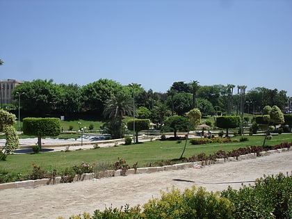
Shallalat Gardens is an oasis of tranquility nestled in the heart of Alexandria, Egypt. This verdant park, with its lush foliage and serene atmosphere, offers a respite from the bustling city life. It stands as a testament to the city's commitment to preserving green spaces amidst urban development.
The gardens are steeped in history, with ties to the era of Alexander the Great. The name "Shallalat," meaning waterfalls in Arabic, is derived from the park's ancient water features, which were once part of the elaborate irrigation system that nourished the city. Today, visitors can still admire remnants of the past, including the vestiges of water channels and ancient walls.
Covering several hectares, Shallalat Gardens is a favorite among locals and tourists alike. The park boasts a variety of plant species, providing a colorful palette of flora that changes with the seasons. Shaded pathways invite leisurely strolls, while open grassy areas are perfect for picnics and family outings.
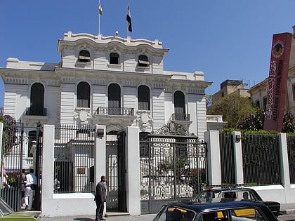
The gardens are not only a haven for nature lovers but also for history aficionados. Within the park's boundaries lies the historic Antoniades Palace, a beautiful example of early 20th-century architecture, which adds to the charm and character of the gardens.
Shallalat Gardens is open to the public year-round and offers a peaceful escape from the urban hustle. It serves as a popular venue for cultural events, art exhibitions, and educational activities, contributing to Alexandria's vibrant community life.
Alexandria
Shallalat Gardens – popular in the area (distance from the attraction)
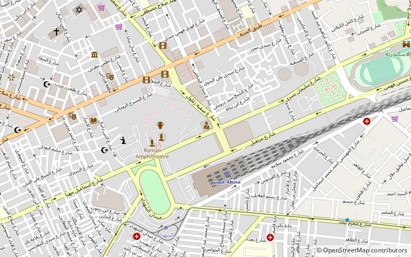
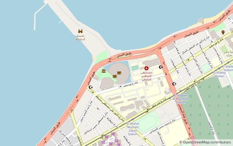
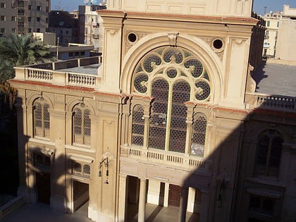
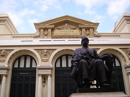
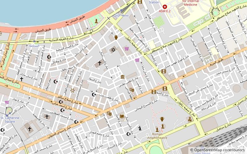
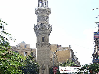
Nearby attractions include: Kom El Deka, Alexandria National Museum, Sadat Museum, Eliyahu Hanavi Synagogue.
Frequently Asked Questions (FAQ)
Which popular attractions are close to Shallalat Gardens?
How to get to Shallalat Gardens by public transport?
Tram
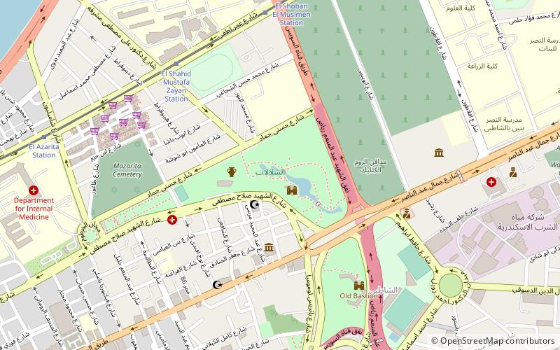
- El Shahid Mustafa Zayan Station (8 min walk)
- El Shoban El Muslmen Station (8 min walk)
Bus
- محطة الرمل (20 min walk)
Train
- Masr station (20 min walk)
- Al-Hadra (25 min walk)
