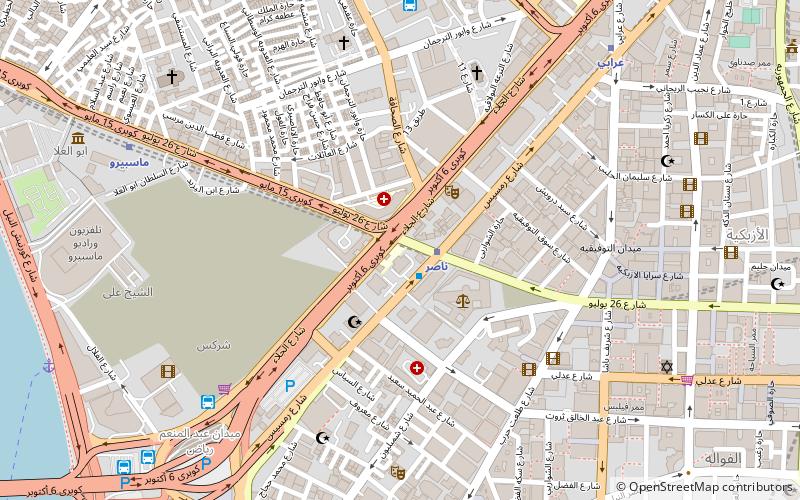
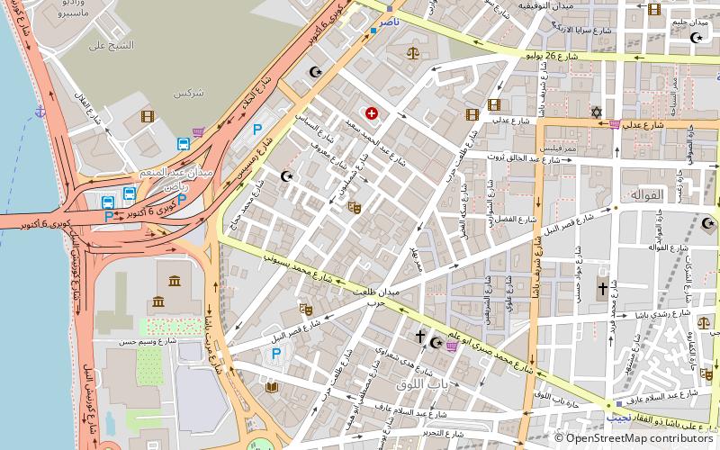
Talaat Harb Street, Cairo

Gallery (1)
Map
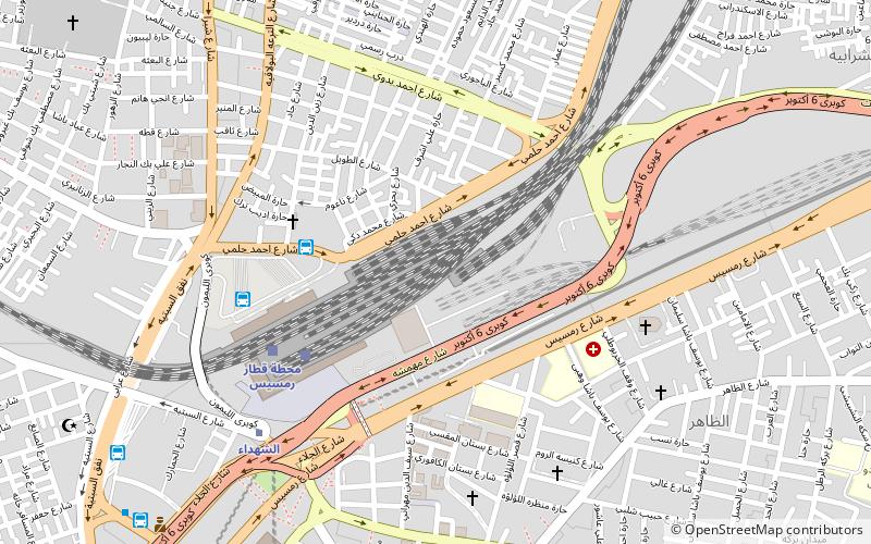
Map
Facts and practical information
Talaat Harb Street is a historic street in downtown Cairo, Egypt, connecting Tahrir Square and Talaat Harb Square. ()
Address
يلهاماشيجي (ylhamashyjy)Cairo
ContactAdd
Social media
Add
Getting there by public transportation
Public transportation stops near this location
- Metro
- Bus
- Train
 Metro
Metro
- Calculate routeHigh Jet 12 min walk
- Calculate routeAhmed Helmy Bus Station 6 min walk
- Calculate routeSuez & Sinai Bus Station 11 min walk
- Calculate routeRamses Station 6 min walk
- Calculate routeOrabi 17 min walk
- Calculate routeShuhada 7 min walk
- Calculate routeMassara 14 min walk
- Calculate routeOrabi 17 min walk
- Calculate routeBab el Shaaria 21 min walk
Day trips


Frequently Asked Questions (FAQ)
Which popular attractions are close to Talaat Harb Street?
Nearby attractions include Azbakeya, Cairo (14 min walk), Daher, Cairo (16 min walk), St. Mary Massarra, Cairo (18 min walk), Shubra, Cairo (20 min walk).
How to get to Talaat Harb Street by public transport?
The nearest stations to Talaat Harb Street:
Bus
Train
Metro
Bus
- High Jet (12 min walk)
- Ahmed Helmy Bus Station (6 min walk)
Train
- Ramses Station (6 min walk)
- Orabi (17 min walk)
Metro
- Shuhada • Lines: 1, 2 (7 min walk)
- Massara • Lines: 2 (14 min walk)