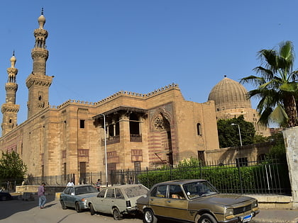
City of the Dead, Cairo
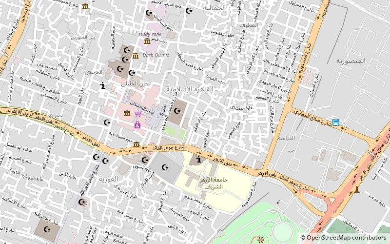
Map
Gallery
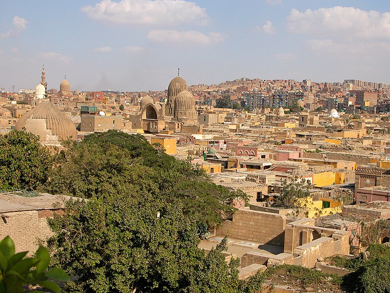
Facts and practical information
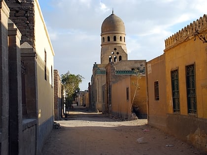
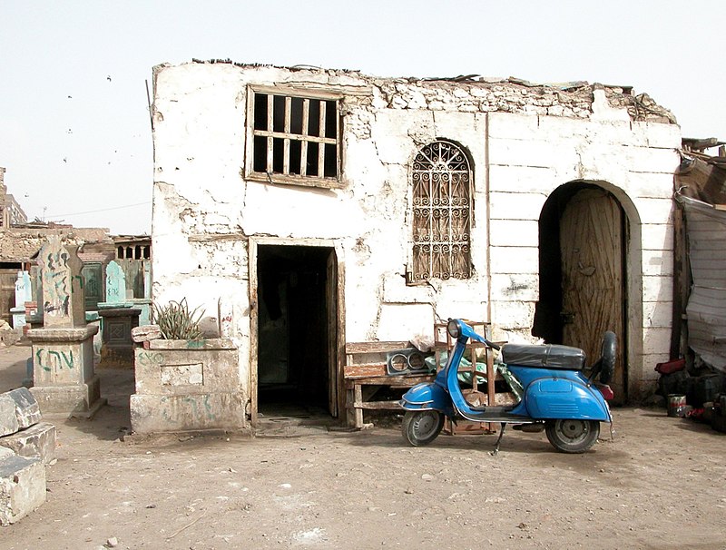
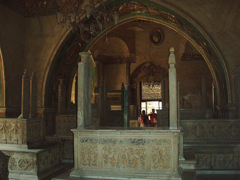
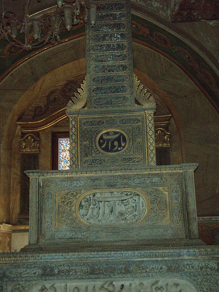
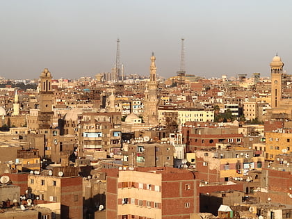
The City of the Dead, or Cairo Necropolis, also referred to as the Qarafa, is a series of vast Islamic-era necropolises and cemeteries in Cairo, Egypt. They extend to the north and to the south of the Cairo Citadel, below the Mokattam Hills and outside the historic city walls, covering an area roughly 4 miles long. They are included in the UNESCO World Heritage Site of "Historic Cairo". ()
Address
Cairo
ContactAdd
Social media
Add
Day trips
City of the Dead – popular in the area (distance from the attraction)
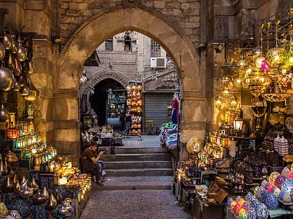
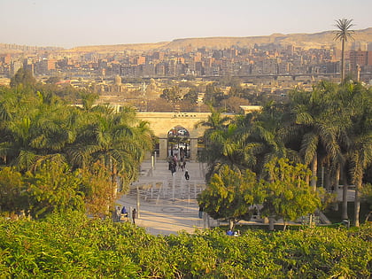
Nearby attractions include: Khan el-Khalili, Al-Azhar Mosque, Al-Azhar Park, Islamic Cairo.
Frequently Asked Questions (FAQ)
Which popular attractions are close to City of the Dead?
Nearby attractions include Khanqah-Mausoleum of Sultan Barsbay, Cairo (2 min walk), Funerary complex of Sultan Qaytbay, Cairo (6 min walk), Khanqah of Faraj ibn Barquq, Cairo (6 min walk), Qubbat Afandina, Cairo (10 min walk).
How to get to City of the Dead by public transport?
The nearest stations to City of the Dead:
Metro
Metro
- El Geish • Lines: 3 (31 min walk)
- Bab el Shaaria • Lines: 3 (33 min walk)
