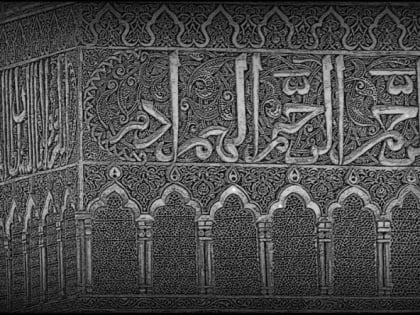
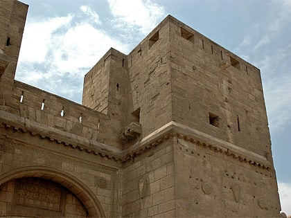
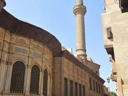
Amir Jamal al-Din al-Ustadar Mosque, Cairo
Map
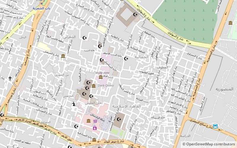
Map

Facts and practical information
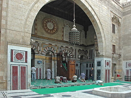
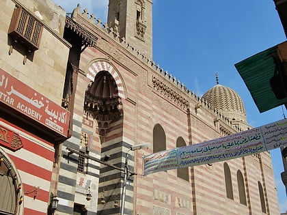
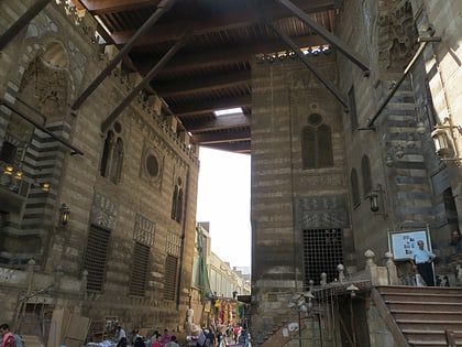
Amir Jamal al-Din al-Ustadar Mosque is a historic mosque in the city of Cairo. It is located inside Islamic Cairo, facing the Al-Tambakshiya Street to the north and the Habas al-Rahb Street to the southeast. ()
Address
النحاسين (alnhasyn)Cairo
ContactAdd
Social media
Add
Day trips
Amir Jamal al-Din al-Ustadar Mosque – popular in the area (distance from the attraction)
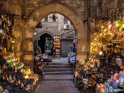
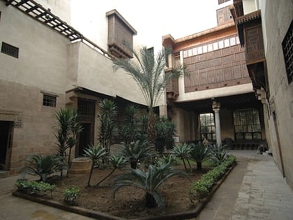
Nearby attractions include: Khan el-Khalili, Al-Azhar Mosque, Islamic Cairo, Bayt Al-Suhaymi.
Frequently Asked Questions (FAQ)
Which popular attractions are close to Amir Jamal al-Din al-Ustadar Mosque?
Nearby attractions include Maimonides Synagogue, Cairo (2 min walk), Aqmar Mosque, Cairo (3 min walk), Beshtak Palace, Cairo (3 min walk), Bayt Al-Suhaymi, Cairo (3 min walk).
How to get to Amir Jamal al-Din al-Ustadar Mosque by public transport?
The nearest stations to Amir Jamal al-Din al-Ustadar Mosque:
Metro
Train
Bus
Metro
- Bab el Shaaria • Lines: 3 (12 min walk)
- El Geish • Lines: 3 (22 min walk)
Train
- Ramses Station (34 min walk)
Bus
- High Jet (36 min walk)
- Ahmed Helmy Bus Station (36 min walk)
