Smouha, Alexandria
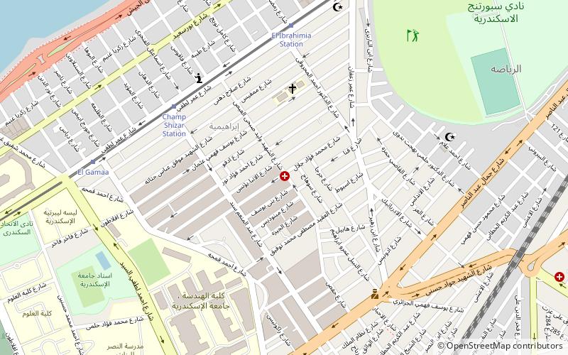
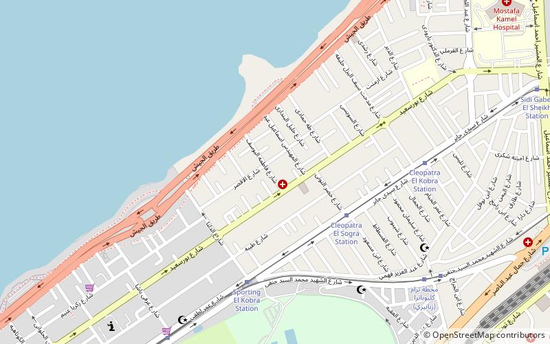
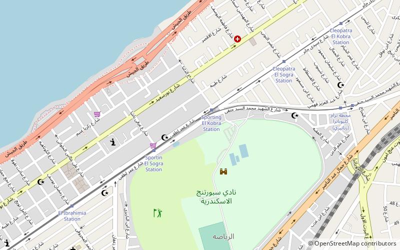
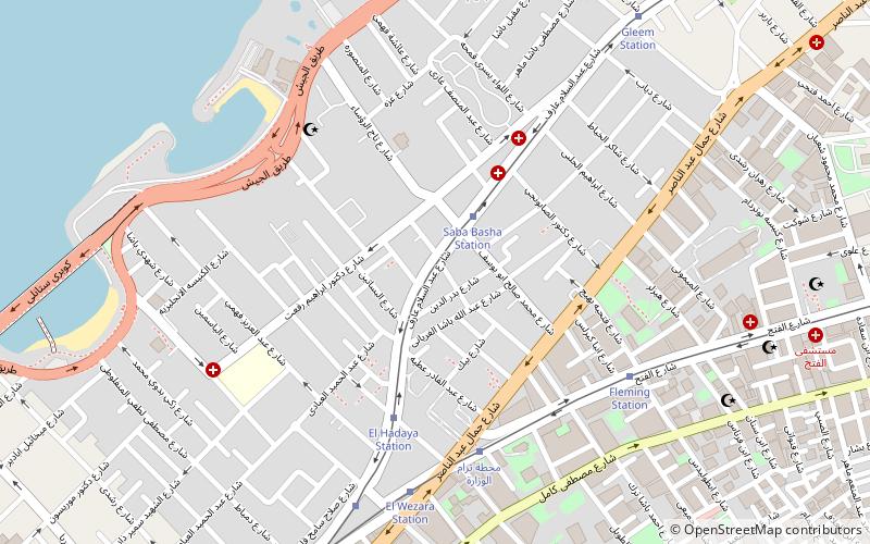
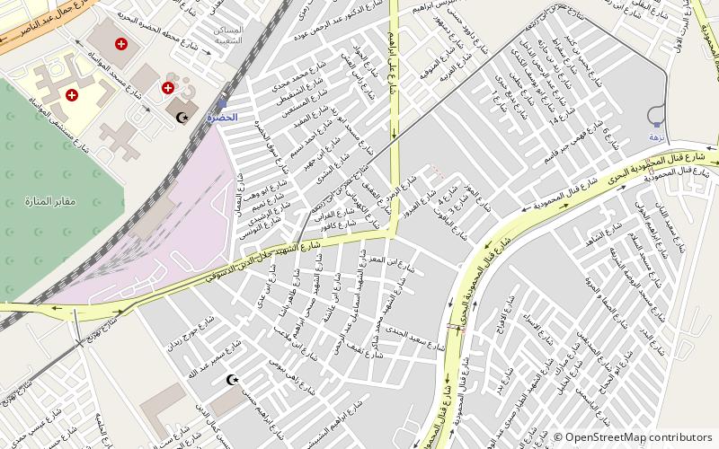
Map
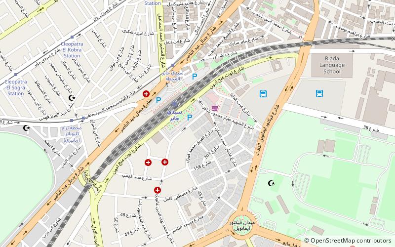
Map

Facts and practical information
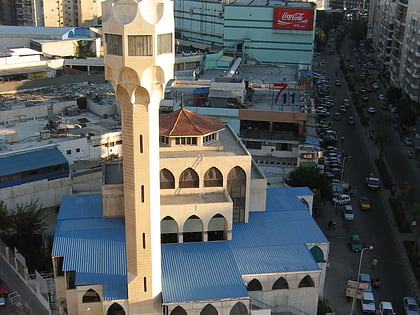
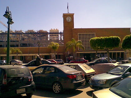
Smouha is an upper middle class neighborhood in Alexandria, Egypt. It is home to the Security Directorate of Alexandria. In the aftermath of the Egyptian revolution the governorate placed fortified barriers around the building to protect it from acts of vandalism or terror, disrupting traffic on the 14th of May Bridge Rd. ()
Local name: سموحةCoordinates: 31°13'6"N, 29°56'37"E
Day trips
Smouha – popular in the area (distance from the attraction)
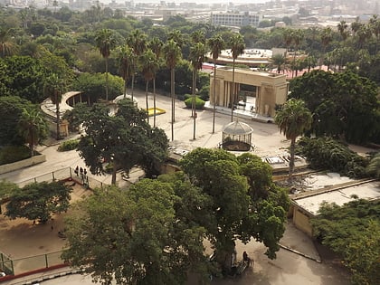
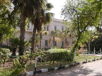
Nearby attractions include: Alexandria Zoo, St. Takla Haymanot's Church, Palais d'Antoniadis, Eliahou Hazan Synagogue.
Frequently Asked Questions (FAQ)
Which popular attractions are close to Smouha?
Nearby attractions include Camp Chezar, Alexandria (5 min walk), Sidi Gaber, Alexandria (12 min walk), Roshdy, Alexandria (16 min walk), Eliahou Hazan Synagogue, Alexandria (17 min walk).
How to get to Smouha by public transport?
The nearest stations to Smouha:
Train
Tram
Train
- Sidi Gaber (2 min walk)
- Al-Hadra (33 min walk)
Tram
- Sidi Gaber El Mahata (5 min walk)
- Cleopatra Station (8 min walk)
