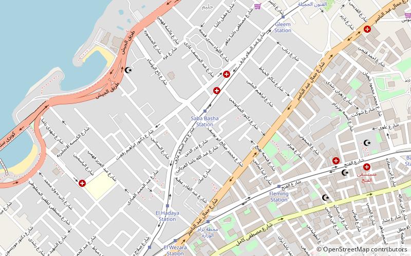
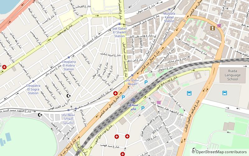
Sidi Gaber, Alexandria
Map
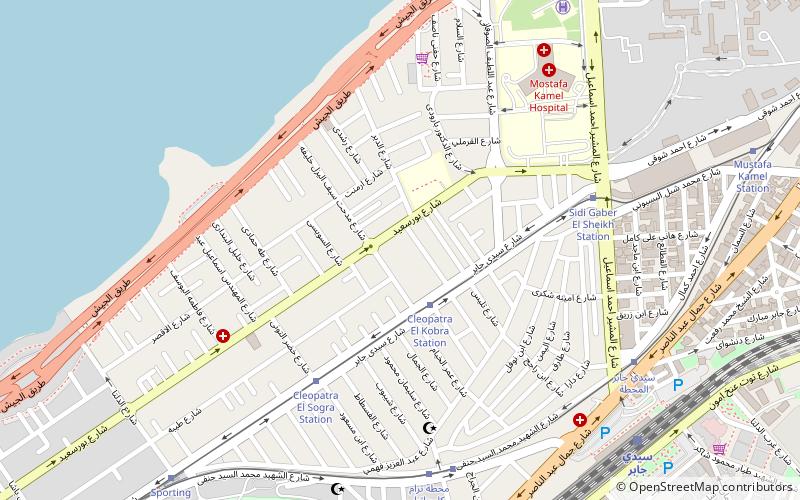
Map

Facts and practical information
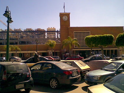
Sidi Gaber is a neighbourhood in Alexandria, Egypt. ()
Coordinates: 31°13'21"N, 29°56'15"E
Address
Alexandria
ContactAdd
Social media
Add
Day trips
Sidi Gaber – popular in the area (distance from the attraction)
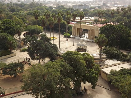
Nearby attractions include: Alexandria Zoo, St. Takla Haymanot's Church, Eliahou Hazan Synagogue, El-Hakaneia Palace.
Frequently Asked Questions (FAQ)
Which popular attractions are close to Sidi Gaber?
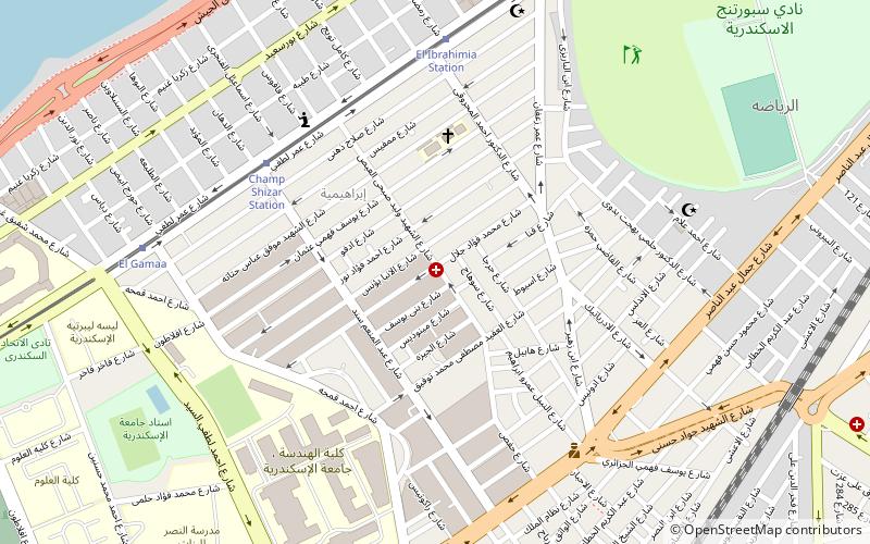
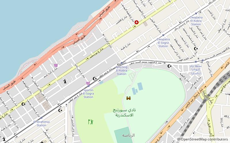
Nearby attractions include Roshdy, Alexandria (4 min walk), Eliahou Hazan Synagogue, Alexandria (7 min walk), Camp Chezar, Alexandria (8 min walk), Sporting, Alexandria (12 min walk).
How to get to Sidi Gaber by public transport?
The nearest stations to Sidi Gaber:
Tram
Train
Tram
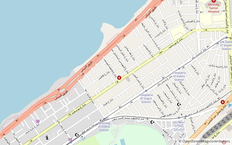
- Cleopatra El Kobra Station (2 min walk)
- Cleopatra Alsoghra Tram Station (6 min walk)
Train
- Sidi Gaber (10 min walk)
