Cemetery GIS, Cairo
Facts and practical information
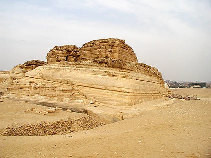
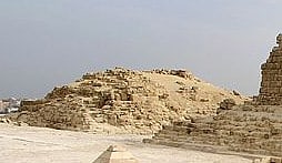
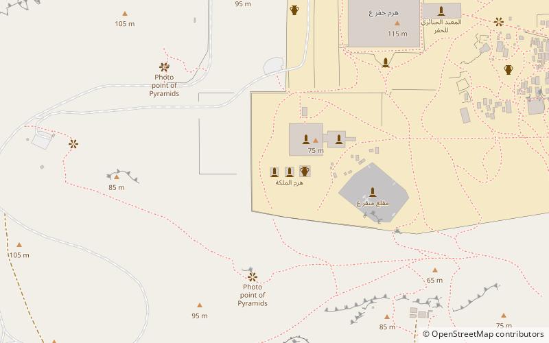
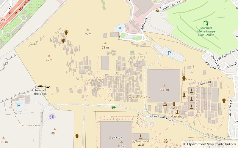
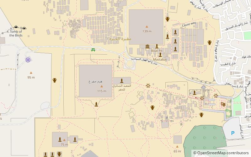
Cemetery GIS is a necropolis in the Giza Plateau. It derives its name from its proximity to pyramid G I. The tombs are located on the south side of that pyramid and hence the name G I South Cemetery. Reisner thought the cemetery a continuation of the G7000 cemetery which is part of the Giza East Field. The construction postdates that of mastaba G 7070 of Sneferukhaf. Junker dated the cemetery to the reign of Menkaure based on the presence of granite powder thought to derive from the dressing of the second pyramid at Giza. Reisner allows for a possible construction date dating to the reign of Khafre. ()
Cairo
Cemetery GIS – popular in the area (distance from the attraction)
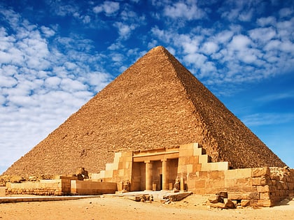
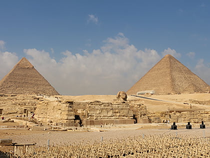
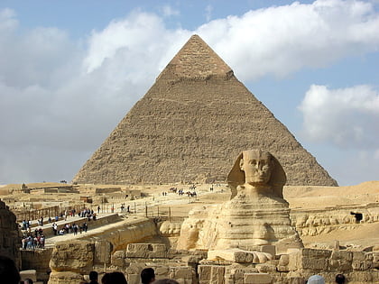
Nearby attractions include: Great Pyramid of Giza, Giza pyramid complex, Pyramid of Khafre, Pyramid of Khentkaus I.
Frequently Asked Questions (FAQ)
Which popular attractions are close to Cemetery GIS?
How to get to Cemetery GIS by public transport?
Bus
- Maryotteya Canal minibus station (34 min walk)
