Louran, Alexandria
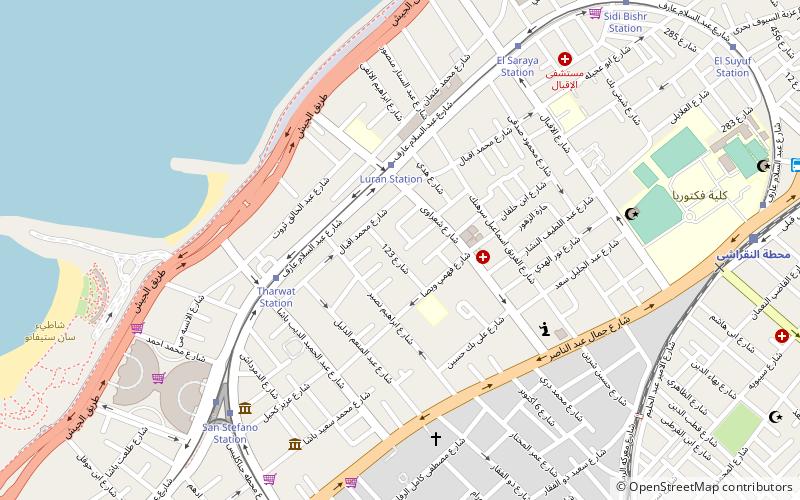
Map
Facts and practical information
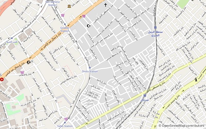
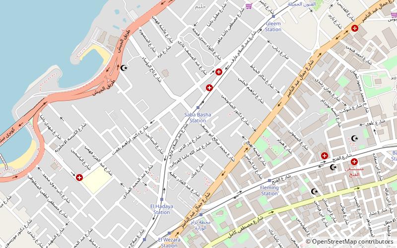
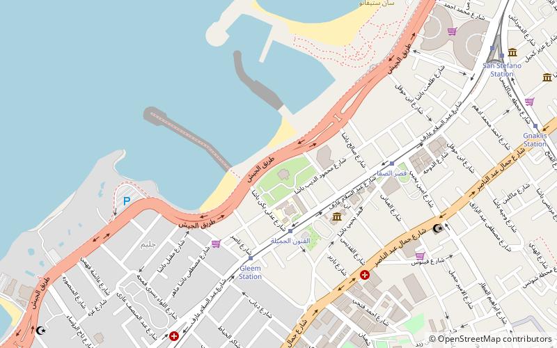
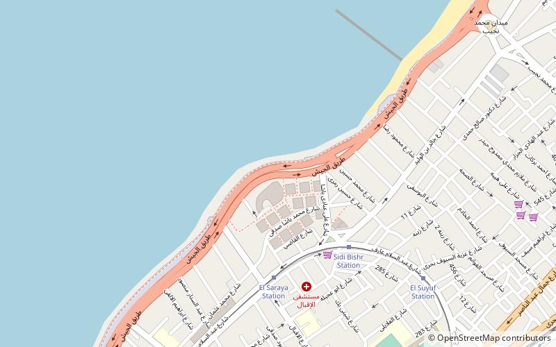
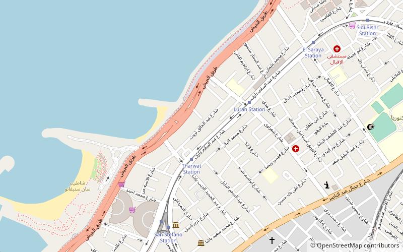
Laurens is an affluent neighborhood in Alexandria. The neighborhood mainly consisted of villas, which are now gradually being demolished to make room for apartment towers. ()
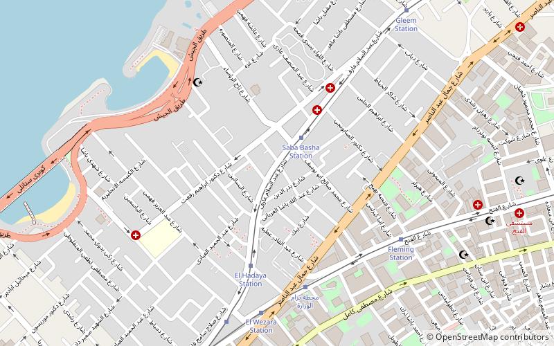
Coordinates: 31°14'53"N, 29°58'19"E
Address
Alexandria
ContactAdd
Social media
Add
Day trips
Louran – popular in the area (distance from the attraction)
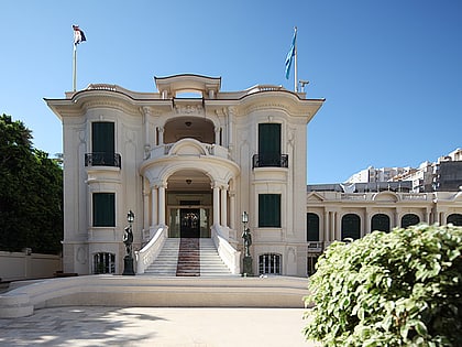
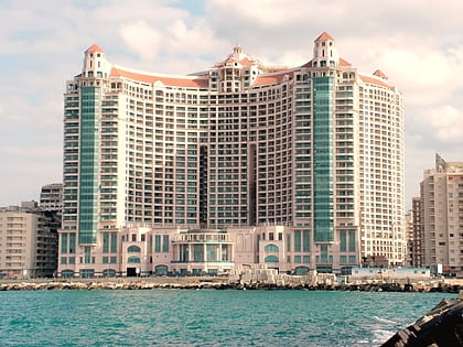
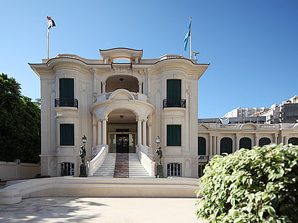
Nearby attractions include: Royal Jewelry Museum, San Stefano, Fleming, Bolkly.
Frequently Asked Questions (FAQ)
Which popular attractions are close to Louran?
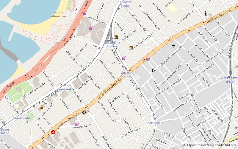
Nearby attractions include Tharwat, Alexandria (4 min walk), San Stefano, Alexandria (4 min walk), El Saraya, Alexandria (7 min walk), Gianaclis, Alexandria (11 min walk).
How to get to Louran by public transport?
The nearest stations to Louran:
Tram
Bus
Train
Tram
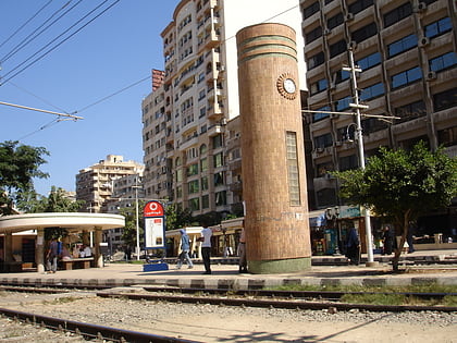
- Luran Station (3 min walk)
- Tharwat Station (5 min walk)
Bus
- Factoria-Mahatet Masr (11 min walk)
- Factoria- Manchyaa (11 min walk)
Train
- Al-Noqrashi (12 min walk)
- محطة الرمل الميري (12 min walk)
