Shods, Alexandria
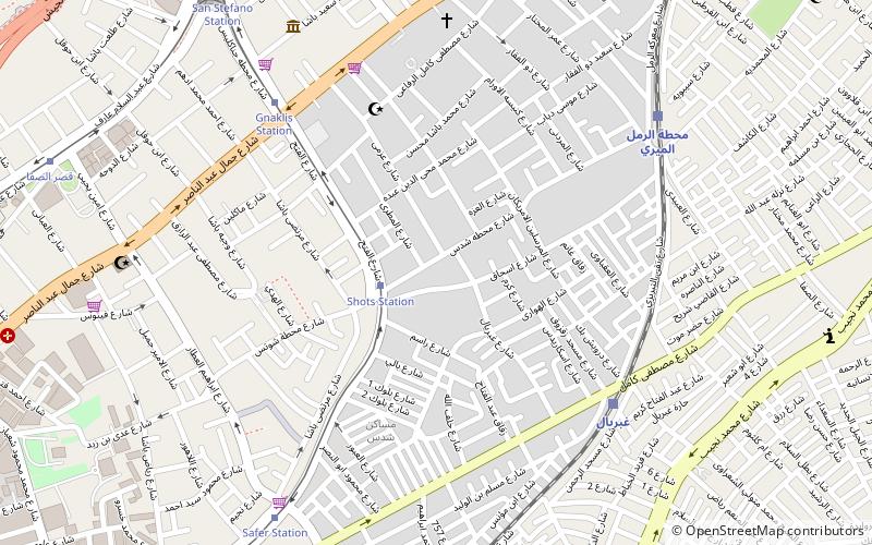
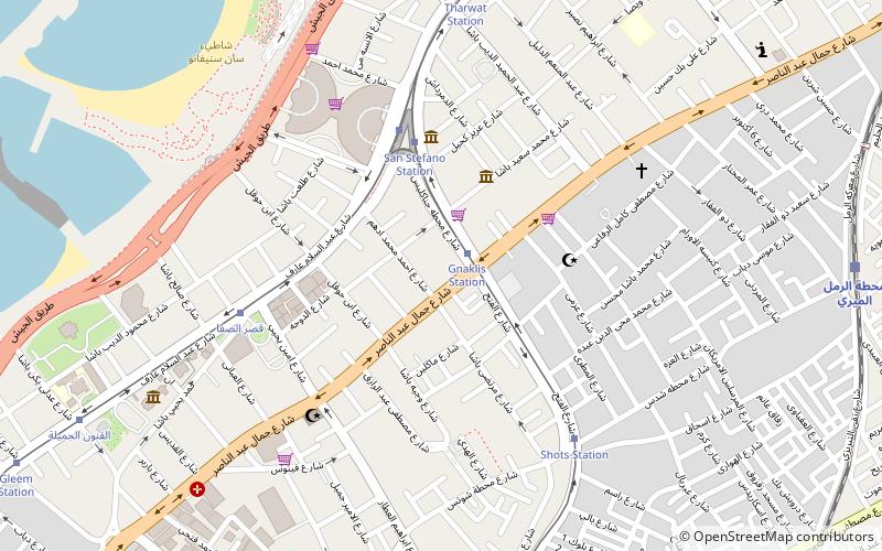
Map
Facts and practical information
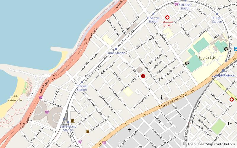
Shods is a neighborhood in Alexandria, Egypt. The neighborhood was originally named Schutz after a wealthy Dutch-Egyptian landowner who lived in the area in the early 20th century, but it was later Arabized to Shods. ()
Coordinates: 31°14'25"N, 29°58'21"E
Address
Alexandria
ContactAdd
Social media
Add
Getting there by public transportation
Public transportation stops near this location
- Bus
- Tram
- Train
 Bus
Bus
- Calculate routeShots Station 2 min walk
- Calculate routeGnaklis Station 7 min walk
- Calculate routeSafer Station 9 min walk
- Calculate routeSan Stefano Station 11 min walk
- Calculate routeGheprial 7 min walk
- Calculate routeمحطة الرمل الميري 9 min walk
- Calculate routeBakous 14 min walk
- Calculate routeAl-Noqrashi 18 min walk
- Calculate routeFactoria-Mahatet Masr 17 min walk
- Calculate routeFactoria- Manchyaa 17 min walk
- Calculate routeFactoria - Sidi Beshr 21 min walk
- Calculate routeFactoria-Mandara 21 min walk
Day trips


Frequently Asked Questions (FAQ)
Which popular attractions are close to Shods?
Nearby attractions include Gianaclis, Alexandria (8 min walk), Zezenia, Alexandria (11 min walk), San Stefano, Alexandria (12 min walk), Louran, Alexandria (14 min walk).
How to get to Shods by public transport?
The nearest stations to Shods:
Tram
Train
Bus
Tram
- Shots Station (2 min walk)
- Gnaklis Station (7 min walk)
Train
- Gheprial (7 min walk)
- محطة الرمل الميري (9 min walk)
Bus
- Factoria-Mahatet Masr (17 min walk)
- Factoria- Manchyaa (17 min walk)