Boulaq, Cairo
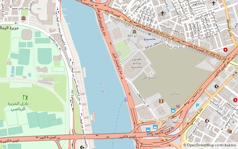
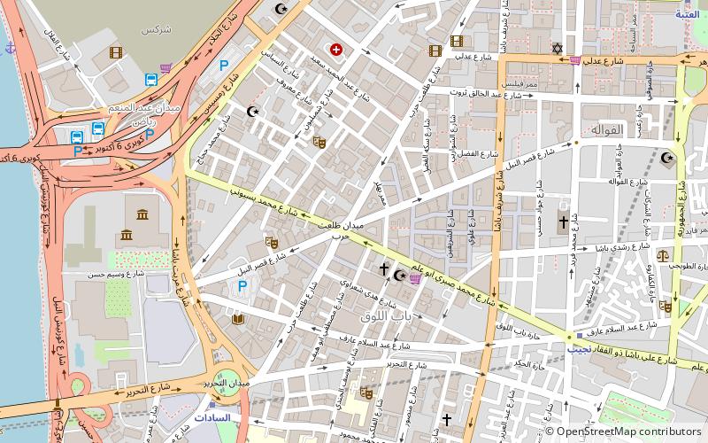
Map
Facts and practical information
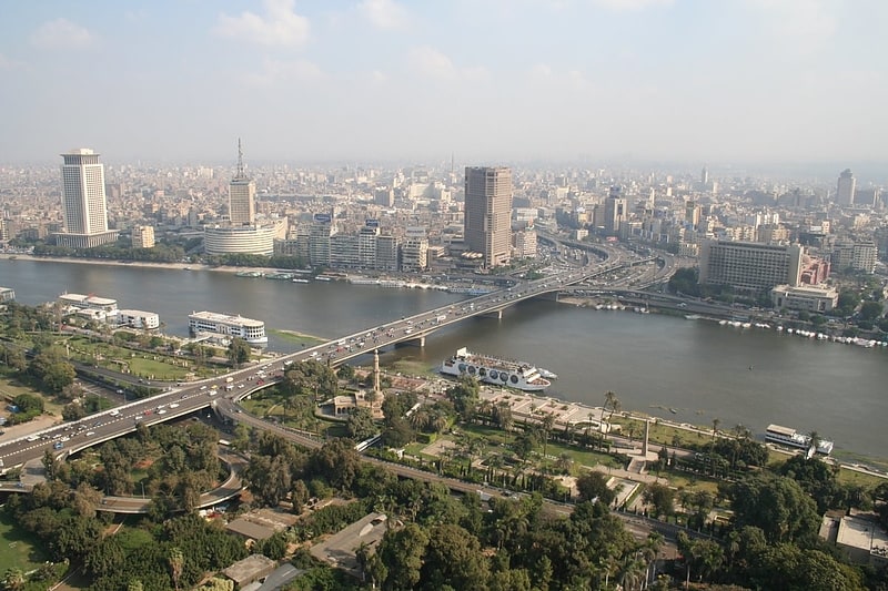
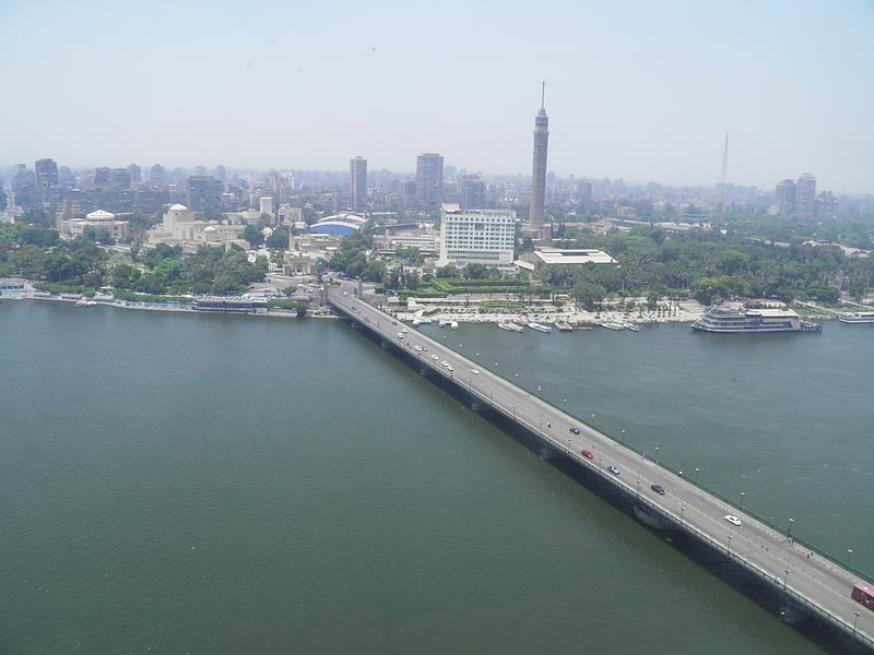
Boulaq, is a district of Cairo, in Egypt. It neighbours Downtown Cairo, Azbakeya, and the River Nile. ()
Address
بولاق (bwlaq)Cairo
ContactAdd
Social media
Add
Getting there by public transportation
Public transportation stops near this location
- Metro
- Bus
- Train
 Metro
Metro
- Calculate routeAbd el Moniem Riad 8 min walk
- Calculate routeTurgoman Bus Station 16 min walk
- Calculate routeHigh Jet 25 min walk
- Calculate routeSuez & Sinai Bus Station 26 min walk
- Calculate routeNasser 14 min walk
- Calculate routeSadat 18 min walk
- Calculate routeOrabi 21 min walk
- Calculate routeOpera 21 min walk
- Calculate routeOrabi 21 min walk
- Calculate routeRamses Station 31 min walk
Day trips

Frequently Asked Questions (FAQ)
Which popular attractions are close to Boulaq?
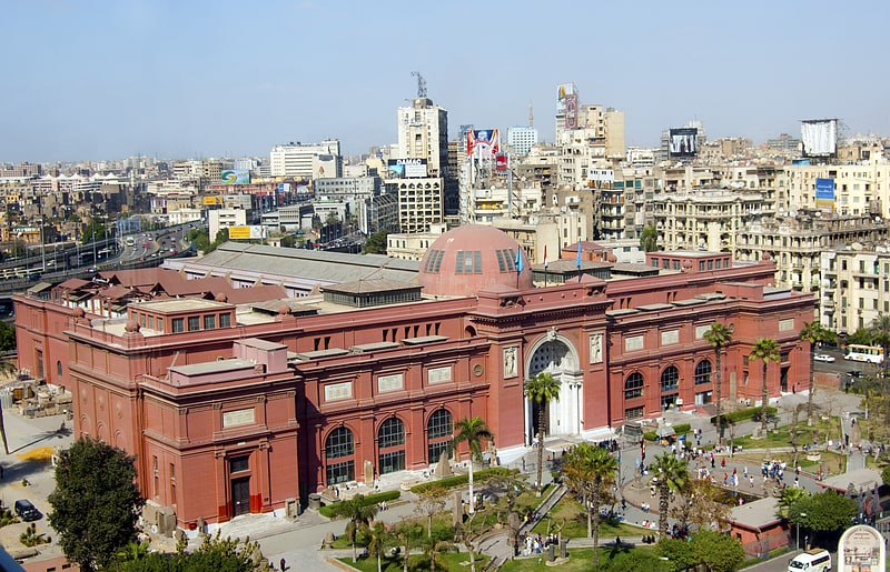
Nearby attractions include Maspiro, Cairo (2 min walk), Bab al-Louq, Cairo (8 min walk), Prince Amr Ibrahim Palace, Cairo (8 min walk), Prince Amr Ibrahim Palace, Cairo (8 min walk).
How to get to Boulaq by public transport?
The nearest stations to Boulaq:
Bus
Metro
Train
Bus
- Abd el Moniem Riad (8 min walk)
- Turgoman Bus Station (16 min walk)
Metro
- Nasser • Lines: 1 (14 min walk)
- Sadat • Lines: 1, 2 (18 min walk)
Train
- Orabi (21 min walk)
- Ramses Station (31 min walk)