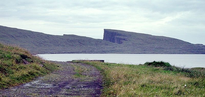
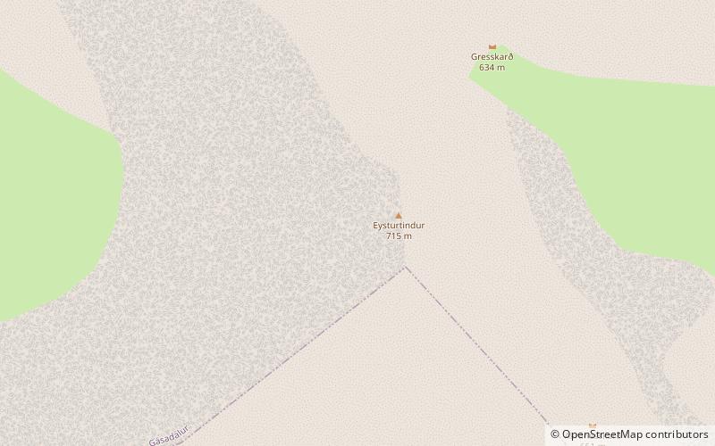
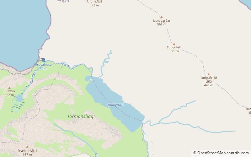
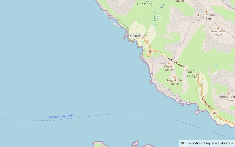
Eysturtindur, Vágar
#4 among attractions in Vágar

Facts and practical information
Eysturtindur is the second highest point - 714 m - on the island of Vágoy, Faroe Islands. ()
Vágar Faroe Islands
Eysturtindur – popular in the area (distance from the attraction)
Nearby attractions include: Sørvágsvatn, Sørvágsfjørður, Vørðufelli, Fjallavatn.
7.3 miSE
Nature, Natural attraction, LakeSørvágsvatn, Vágar
186 min walk • Sørvágsvatn or Leitisvatn is the largest lake in the Faroe Islands. It is situated on the island of Vágar between the municipalities of Sørvágur and Vágar.
1.9 miS
Natural attraction, Nature, FjordSørvágsfjørður
50 min walk • Sørvágsfjørður is a fjord on the west side of the island of Vágoy in the Faroe Islands which is approximately 3.5 km long. At the end of the fjord lies the village of Sørvágur. On the northside of the fjord lies the small village of Bøur.
5.1 miSE
Nature, Natural attraction, MountainVørðufelli, Vágar
130 min walk • Vørðufelli is a mountain overlooking the village of Sørvágur on the Faroe Islands. Its height is 284 metres above sea level. It is situated between Húsadalur, Vága, Vatnsdalur, and close to Klovin.
3.2 miE
Nature, Natural attraction, LakeFjallavatn, Vágar
83 min walk • Fjallavatn is the second largest lake in the Faroe Islands. It is situated on the island of Vágar and its size is 1 km2.
2 miSW
Natural attraction, Nature, MountainÁrnafjall
52 min walk • Árnafjall is the highest mountain on the island of Vágar in the Faroe Islands. The highest point is 722 metres above sea level. The name Árnafjall translates to the eagles mountain. The mountain lies on the west side of Vágar close to the village of Gásadalur.
2.6 miSE
VillageBøur
68 min walk • Bøur is a village in the Sørvágur Municipality of the Faroe Islands, 4 km west of Sørvágur, with a population of 75. Its location is 62°5′27″N 7°22′3″W and its postal code is FO 386. It is linked to the village of Gásadalur by the Gásadalstunnilin tunnel.
3 miSW
IslandTindhólmur
76 min walk • Tindhólmur is an islet on the southside of Sørvágsfjørður, west of Vágar in the Faroe Islands. It has its name from the five peaks, which are named Ytsti, Arni, Lítli, Breiði, Bogni. The islet is uninhabited.
1.2 miSW
TunnelGásadalstunnilin, Vágar
31 min walk • The Gásadalur Tunnel, Gásadalstunnilin, is a 1.4 kilometre long, single-lane tunnel in the west of the Faroe Islands, on the island of Vágar. It connects the villages of Bøur in the east with Gásadalur in the west, which are separated by the Knúkarnir mountain.
4.1 miSE
VillageSørvágur, Vágar
105 min walk • Sørvágur is a village on the island of Vágar in the Faroe Islands. It is located at the landward end of Sørvágsfjørður. Sørvágur is the largest village in Sørvágur Municipality.
3.3 miSW
IslandGáshólmur, Gásadalur
84 min walk • Gáshólmur is a small islet on the southside of Sørvágsfjørður in the Faroe Islands. To the east of the islet lies another islet, Tindhólmur.