Sørvágur, Vágar
#6 among attractions in Vágar


Facts and practical information
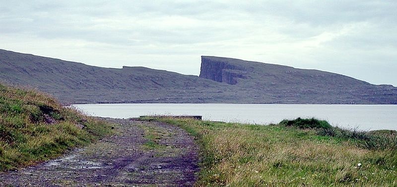
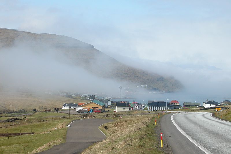
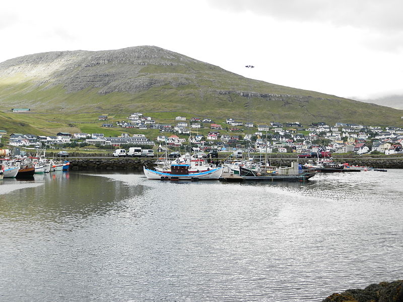
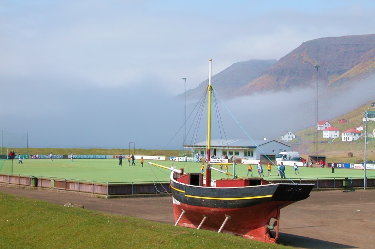
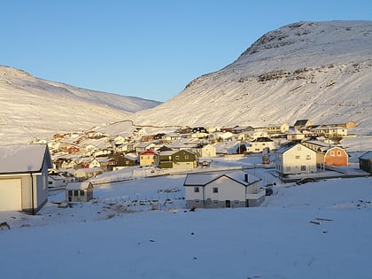
Sørvágur is a village on the island of Vágar in the Faroe Islands. ()
Vágar Faroe Islands
Vágar plan & book
Unleash the traveler in you — discover the cheapest flight deals, find the perfect hotel or hostel nearby, and search for the best car rental prices. Travel at your own pace to discover new places and enjoy your journey.
Sørvágur – popular in the area (distance from the attraction)
Nearby attractions include: Sørvágsvatn, Sørvágsfjørður, Bøsdalafossur, Sandavágur Church.
 Nature, Natural attraction, Lake
Sørvágsvatn, Vágar
86 min walk • Sørvágsvatn or Leitisvatn is the largest lake in the Faroe Islands. It is situated on the island of Vágar between the municipalities of Sørvágur and Vágar.
 Natural attraction, Nature, Fjord
Sørvágsfjørður
74 min walk • Sørvágsfjørður is a fjord on the west side of the island of Vágoy in the Faroe Islands which is approximately 3.5 km long. At the end of the fjord lies the village of Sørvágur. On the northside of the fjord lies the small village of Bøur.
 Nature, Natural attraction, Waterfall
Bøsdalafossur, Sandavágur
113 min walk • Bøsdalafossur is a waterfall in the Faroe Islands that flows from the lake Sørvágsvatn/Leitissvatn and into the Atlantic ocean. It has a height of 30 meters.
 Church
Sandavágur Church, Sandavágur
144 min walk • Sandavágur Church is a distinctive red-roofed church in the town of Sandavágur in the Faroe Islands.
 Nature, Natural attraction, Mountain
Vørðufelli, Vágar
33 min walk • Vørðufelli is a mountain overlooking the village of Sørvágur on the Faroe Islands. Its height is 284 metres above sea level. It is situated between Húsadalur, Vága, Vatnsdalur, and close to Klovin.
 Nature, Natural attraction, Lake
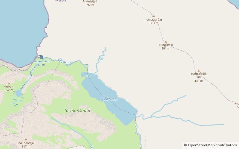
Fjallavatn, Vágar
96 min walk • Fjallavatn is the second largest lake in the Faroe Islands. It is situated on the island of Vágar and its size is 1 km2.
 Nature, Natural attraction, Mountain
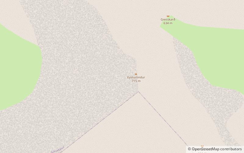
Eysturtindur, Vágar
105 min walk • Eysturtindur is the second highest point - 714 m - on the island of Vágoy, Faroe Islands.
 Natural attraction, Nature, Mountain
Árnafjall
118 min walk • Árnafjall is the highest mountain on the island of Vágar in the Faroe Islands. The highest point is 722 metres above sea level. The name Árnafjall translates to the eagles mountain. The mountain lies on the west side of Vágar close to the village of Gásadalur.
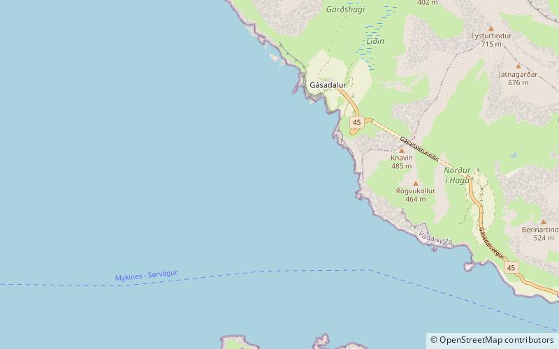
 Village
Bøur
38 min walk • Bøur is a village in the Sørvágur Municipality of the Faroe Islands, 4 km west of Sørvágur, with a population of 75. Its location is 62°5′27″N 7°22′3″W and its postal code is FO 386. It is linked to the village of Gásadalur by the Gásadalstunnilin tunnel.
 Island
Tindhólmur
94 min walk • Tindhólmur is an islet on the southside of Sørvágsfjørður, west of Vágar in the Faroe Islands. It has its name from the five peaks, which are named Ytsti, Arni, Lítli, Breiði, Bogni. The islet is uninhabited.
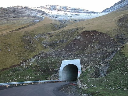 Tunnel
Gásadalstunnilin, Vágar
109 min walk • The Gásadalur Tunnel, Gásadalstunnilin, is a 1.4 kilometre long, single-lane tunnel in the west of the Faroe Islands, on the island of Vágar. It connects the villages of Bøur in the east with Gásadalur in the west, which are separated by the Knúkarnir mountain.