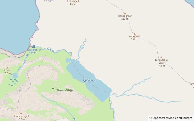
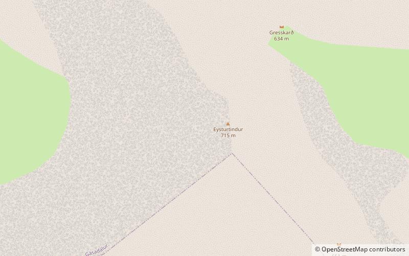
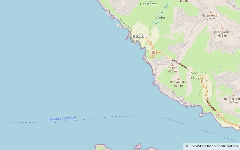
Fjallavatn, Vágar
#3 among attractions in Vágar
Facts and practical information
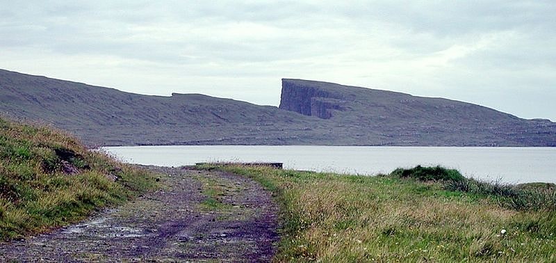
Fjallavatn is the second largest lake in the Faroe Islands. It is situated on the island of Vágar and its size is 1 km2. ()
Vágar Faroe Islands
Fjallavatn – popular in the area (distance from the attraction)
Nearby attractions include: Sørvágsvatn, Sørvágsfjørður, Sandavágur Church, Vørðufelli.
5.7 miSENature, Natural attraction, LakeSørvágsvatn, Vágar
145 min walk • Sørvágsvatn or Leitisvatn is the largest lake in the Faroe Islands. It is situated on the island of Vágar between the municipalities of Sørvágur and Vágar.
4.1 miSWNatural attraction, Nature, FjordSørvágsfjørður
104 min walk • Sørvágsfjørður is a fjord on the west side of the island of Vágoy in the Faroe Islands which is approximately 3.5 km long. At the end of the fjord lies the village of Sørvágur. On the northside of the fjord lies the small village of Bøur.
6.7 miSEChurchSandavágur Church, Sandavágur
172 min walk • Sandavágur Church is a distinctive red-roofed church in the town of Sandavágur in the Faroe Islands.
3.9 miSNature, Natural attraction, MountainVørðufelli, Vágar
100 min walk • Vørðufelli is a mountain overlooking the village of Sørvágur on the Faroe Islands. Its height is 284 metres above sea level. It is situated between Húsadalur, Vága, Vatnsdalur, and close to Klovin.
3.2 miWNature, Natural attraction, MountainEysturtindur, Vágar
83 min walk • Eysturtindur is the second highest point - 714 m - on the island of Vágoy, Faroe Islands.
5.1 miWNatural attraction, Nature, MountainÁrnafjall
131 min walk • Árnafjall is the highest mountain on the island of Vágar in the Faroe Islands. The highest point is 722 metres above sea level. The name Árnafjall translates to the eagles mountain. The mountain lies on the west side of Vágar close to the village of Gásadalur.
3 miSWVillageBøur
77 min walk • Bøur is a village in the Sørvágur Municipality of the Faroe Islands, 4 km west of Sørvágur, with a population of 75. Its location is 62°5′27″N 7°22′3″W and its postal code is FO 386. It is linked to the village of Gásadalur by the Gásadalstunnilin tunnel.
5.4 miSWIslandTindhólmur
138 min walk • Tindhólmur is an islet on the southside of Sørvágsfjørður, west of Vágar in the Faroe Islands. It has its name from the five peaks, which are named Ytsti, Arni, Lítli, Breiði, Bogni. The islet is uninhabited.
4.3 miWTunnelGásadalstunnilin, Vágar
111 min walk • The Gásadalur Tunnel, Gásadalstunnilin, is a 1.4 kilometre long, single-lane tunnel in the west of the Faroe Islands, on the island of Vágar. It connects the villages of Bøur in the east with Gásadalur in the west, which are separated by the Knúkarnir mountain.
5.2 miNETownVestmanna
133 min walk • Vestmanna is a town in the Faroe Islands on the west of the island of Streymoy. It was formerly a ferry port, until an undersea tunnel, the Vágatunnilin, was built from Vágar to Kvívík and Stykkið further south on Streymoy. The cliffs west of Vestmanna, Vestmannabjørgini, are very popular for excursions by boat.
3.8 miSVillageSørvágur, Vágar
96 min walk • Sørvágur is a village on the island of Vágar in the Faroe Islands. It is located at the landward end of Sørvágsfjørður. Sørvágur is the largest village in Sørvágur Municipality.