Tindhólmur
Map
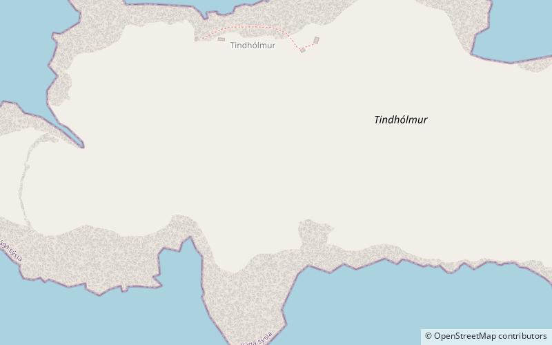
Map

Facts and practical information
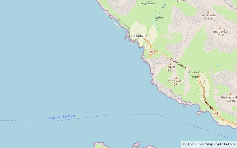
Tindhólmur is an islet on the southside of Sørvágsfjørður, west of Vágar in the Faroe Islands. It has its name from the five peaks, which are named Ytsti, Arni, Lítli, Breiði, Bogni. The islet is uninhabited. It has an area of 65 hectares – or in old Faroese style, two merkur – and its highest point is at an elevation of 262 metres. Formerly, it was a nesting place for the white-tailed eagle. ()
Location
Vågø
ContactAdd
Social media
Add
Day trips
Tindhólmur – popular in the area (distance from the attraction)
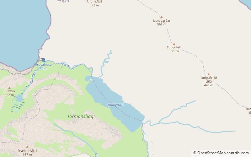
Nearby attractions include: Sørvágsfjørður, Vørðufelli, Fjallavatn, Eysturtindur.


