Trek Zone

Pointe Rénod

#2539 among destinations in France

Nature, Natural attraction, Mountain
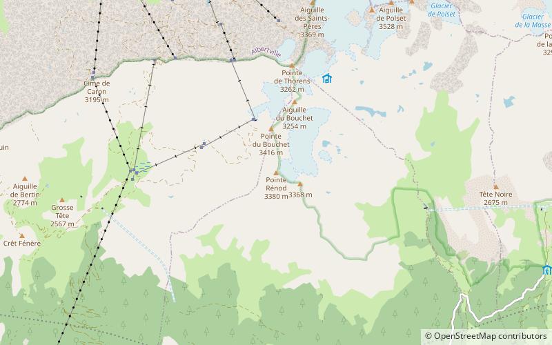
Pointe Rénod location map
Map

Facts and practical information

Alternative names: Elevation: 11050 ftCoordinates: 45°14'46"N, 6°36'20"E
Location

Auvergne-Rhône-AlpesFrance

ContactAdd
Social media
Add
Day trips

Pointe Rénod – popular in the area (distance from the attraction)

Nearby attractions include: Refuge de la Dent Parrachée, Ouvrage Saint-Gobain, Aiguille de Péclet, Refuge du lac du Lou.

  • refuge de la dent parrachee5.8 miE
  • ouvrage saint gobain4.5 miSE
  • aiguille de peclet val thorens2.6 miN
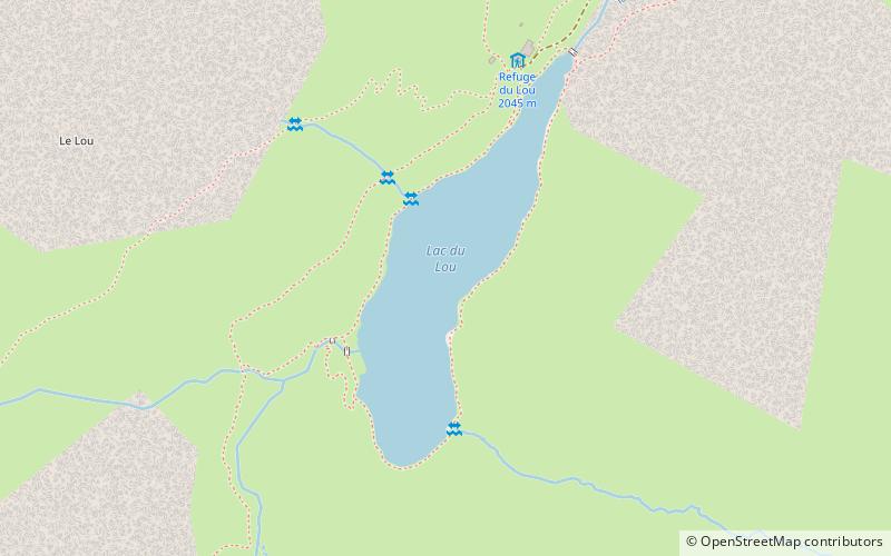
  • refuge du lac du lou val thorens location map
    4.8 miNW
  • cime de caron val thorens2.8 miNW
  • mont brequin3.5 miW
  • pointe de thorens val thorens1.3 miN
  • pointe du bouchet0.8 miNW
  • maurienne modane4.4 miSE
  • pointe de lechelle4.2 miNE
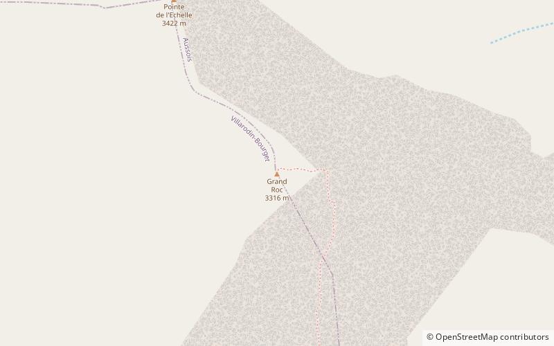
  • grand roc location map
    4.2 miE

Where to next? Visit auvergne rhone alpes Auvergne-Rhône-Alpes region page or discover the top tourist attractions in France.