Fort Saint-Jean, Lyon
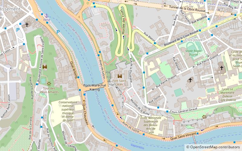
Map
Gallery
Facts and practical information
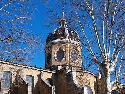
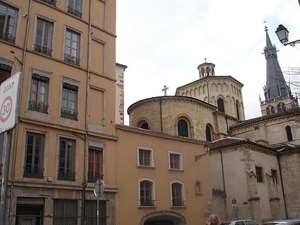
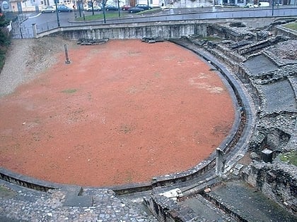
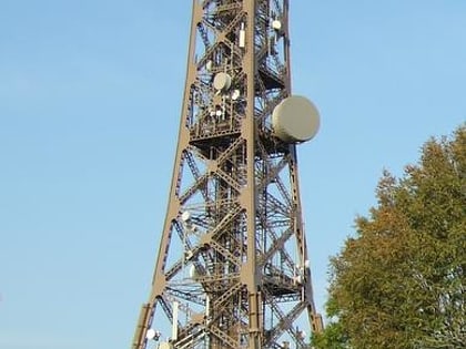
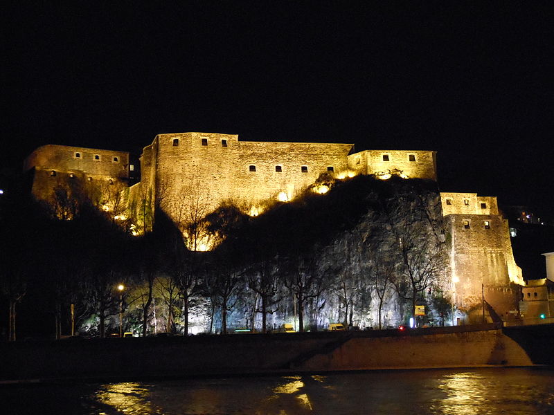
The Fort Saint-Jean is located in the 1st arrondissement of Lyon and part of the first fort belt of Lyon, which includes Fort de Loyasse, and the now-demolished Fort Duchère and Fort de Caluire. ()
Address
Arrondissement 1ER (Chartreux - Saint Vincent)Lyon
ContactAdd
Social media
Add
Day trips
Fort Saint-Jean – popular in the area (distance from the attraction)
Nearby attractions include: Esplanade de Fourvière, Parc des Hauteurs, Lugdunum, Temple du Change.
Frequently Asked Questions (FAQ)
Which popular attractions are close to Fort Saint-Jean?
Nearby attractions include Les Subsistances, Lyon (8 min walk), Church of Saint-Bruno des Chartreux, Lyon (9 min walk), Parc de la Cerisaie, Lyon (9 min walk), Fort de Loyasse, Lyon (12 min walk).
How to get to Fort Saint-Jean by public transport?
The nearest stations to Fort Saint-Jean:
Trolleybus
Bus
Ferry
Metro
Train
Trolleybus
- La Poudrière • Lines: C13, C18 (3 min walk)
- Pont Koëning R. G. • Lines: C14 (3 min walk)
Bus
- Quai Gillet • Lines: 2, 40, 45 (3 min walk)
- Pont Kœnig R. G. • Lines: 19, 31, 40 (3 min walk)
Ferry
- Vaise • Lines: Vaporetto (9 min walk)
- Saint-Paul - Hôtel de Ville • Lines: Vaporetto (18 min walk)
Metro
- Valmy • Lines: D (14 min walk)
- Gorge de Loup • Lines: D (15 min walk)
Train
- Lyon-Gorge-de-Loup (16 min walk)
- Lyon-Saint-Paul (17 min walk)

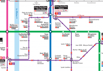 Metro
Metro