Levallois-Perret Cemetery, Paris
Map
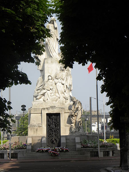
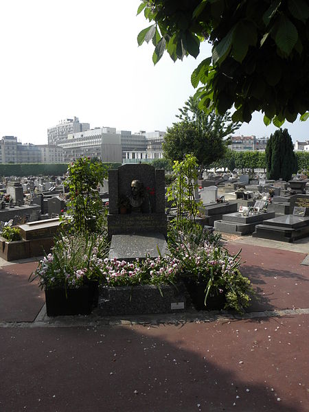
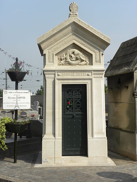
Gallery
Facts and practical information
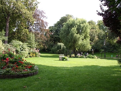
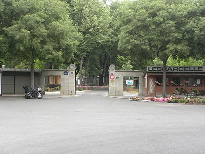
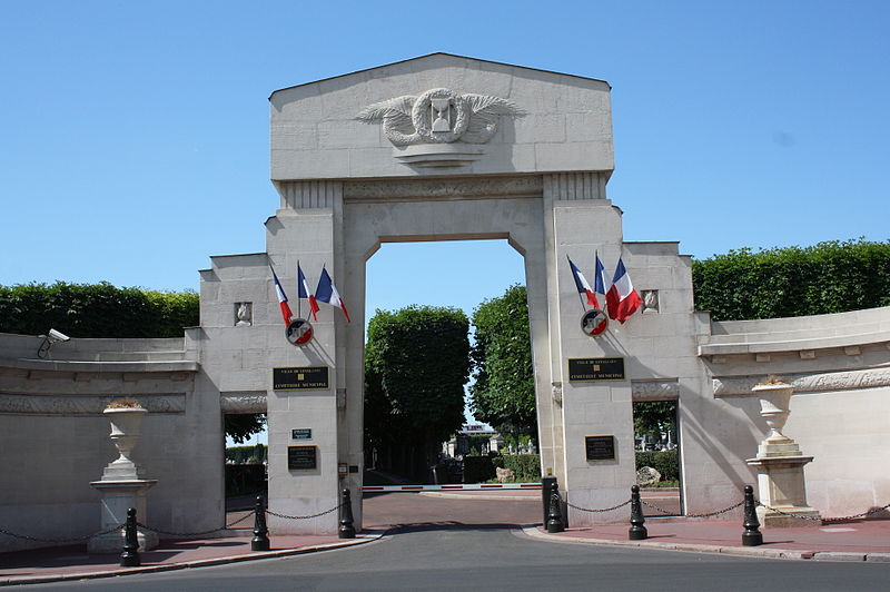
The Levallois-Perret Cemetery is a cemetery in the commune of Levallois-Perret in the northwestern suburbs of Paris, France. Strictly speaking it is just outside Paris in the arrondissement of Nanterre, in the Hauts-de-Seine department, in the Île-de-France region. ()
Local name: Cimetière de Levallois-Perret Established: 1868 (158 years ago)Coordinates: 48°54'3"N, 2°17'22"E
Address
101 rue BaudinLevallois-Perret (Collange - Front-de-Seine)Paris 92300
Contact
+33 1 47 15 75 97
Social media
Add
Day trips
Levallois-Perret Cemetery – popular in the area (distance from the attraction)
Nearby attractions include: Château d'Asnières, Square des Batignolles, Théâtre de Gennevilliers, Place de Wagram.
Frequently Asked Questions (FAQ)
Which popular attractions are close to Levallois-Perret Cemetery?
Nearby attractions include Levallois-Perret, Paris (11 min walk), Château d'Asnières, Paris (18 min walk), Asnières-sur-Seine, Paris (18 min walk), Clichy, Paris (19 min walk).
How to get to Levallois-Perret Cemetery by public transport?
The nearest stations to Levallois-Perret Cemetery:
Bus
Train
Metro
Tram
Bus
- Rue des Chasses • Lines: 165, 574 (4 min walk)
- Collange • Lines: 165 (4 min walk)
Train
- Clichy-Levallois (11 min walk)
- Asnières-sur-Seine (12 min walk)
Metro
- Pont de Levallois – Bécon • Lines: 3 (13 min walk)
- Anatole France • Lines: 3 (17 min walk)
Tram
- Porte d'Asnières-Marguerite Long • Lines: T3b (26 min walk)
- Porte de Clichy • Lines: T3b (31 min walk)


 Metro
Metro