Church of St. Benedict, Le Mans
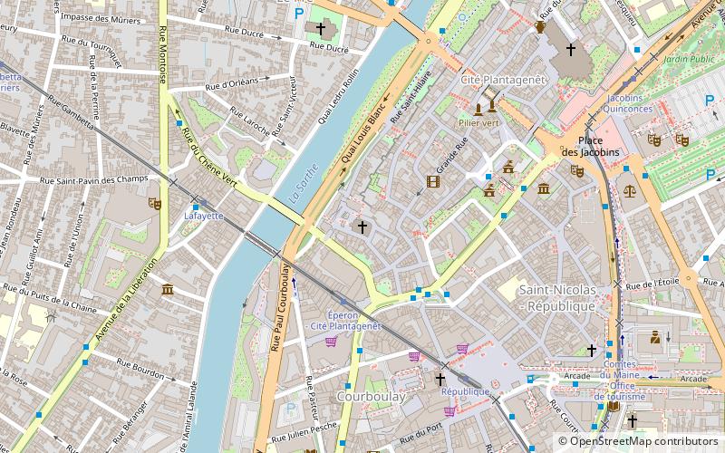
Map

Map

Facts and practical information
The Saint-Benoît church is a religious building located in the city of Le Mans, within the historic district.
Coordinates: 48°0'23"N, 0°11'38"E
Address
Place Saint-BenoîtRépublique (Vieux Mans)Le Mans 72100
ContactAdd
Social media
Add
Day trips
Church of St. Benedict – popular in the area (distance from the attraction)
Nearby attractions include: Le Mans Cathedral, Notre-Dame de la Couture, Église Notre-Dame-du-Pré, Abbey of Saint-Pierre de la Couture.
Frequently Asked Questions (FAQ)
Which popular attractions are close to Church of St. Benedict?
Nearby attractions include Enceinte romaine, Le Mans (4 min walk), Mairie du Mans, Le Mans (5 min walk), Chapelle de la Visitation, Le Mans (5 min walk), Église Notre-Dame-du-Pré, Le Mans (6 min walk).
How to get to Church of St. Benedict by public transport?
The nearest stations to Church of St. Benedict:
Tram
Bus
Train
Tram
- Éperon - Cité Plantagenêt • Lines: T1 (3 min walk)
- Lafayette • Lines: T1 (5 min walk)
Bus
- Éperon • Lines: 11, 12, 14, 17, 20, 206, 207, 216, 219, 4, 7 (3 min walk)
- Cité Plantagenêt • Lines: Mancelle (4 min walk)
Train
- Le Mans Gare Sud (21 min walk)


