La Croix Rouge, Le Mans

Facts and practical information
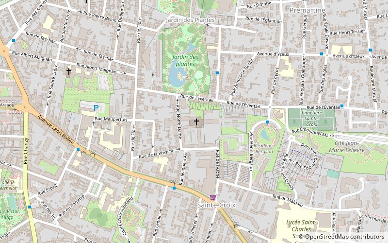
La Croix Rouge is a place located in Le Mans (Pays de la Loire region) and belongs to the category of church.
It is situated at an altitude of 243 feet, and its geographical coordinates are 48°0'13"N latitude and 0°12'36"E longitude.
Planning a visit to this place, one can easily and conveniently get there by public transportation. La Croix Rouge is a short distance from the following public transport stations: Rue du Nord (bus, 3 min walk), Comtes du Maine - Office de tourisme (tram, 12 min walk), Le Mans Gare Sud (train, 27 min walk).
Among other places and attractions worth visiting in the area are: Notre-Dame de la Couture (church, 12 min walk), Abbey of Saint-Pierre de la Couture (monastery, 13 min walk), Mairie du Mans (city hall, 17 min walk).
Bollée (Sainte-Croix)Le Mans
- Bus
- Tram
- Train
 Bus
Bus
- Calculate routeRue du Nord 3 min walk
- Calculate routeFlore 4 min walk
- Calculate routeBergson 4 min walk
- Calculate routeSainte-Hélène 6 min walk
- Calculate routeComtes du Maine - Office de tourisme 12 min walk
- Calculate routeJacobins - Quinconces 15 min walk
- Calculate routePréfecture 16 min walk
- Calculate routeCroix de Pierre 16 min walk
- Calculate routeLe Mans Gare Sud 27 min walk


Frequently Asked Questions (FAQ)
Which popular attractions are close to La Croix Rouge?
How to get to La Croix Rouge by public transport?
Bus
- Rue du Nord • Lines: 31 (3 min walk)
- Flore • Lines: 216, 219, 23, 25, 5, 6 (4 min walk)
Tram
- Comtes du Maine - Office de tourisme • Lines: T2 (12 min walk)
- Jacobins - Quinconces • Lines: T2 (15 min walk)
Train
- Le Mans Gare Sud (27 min walk)