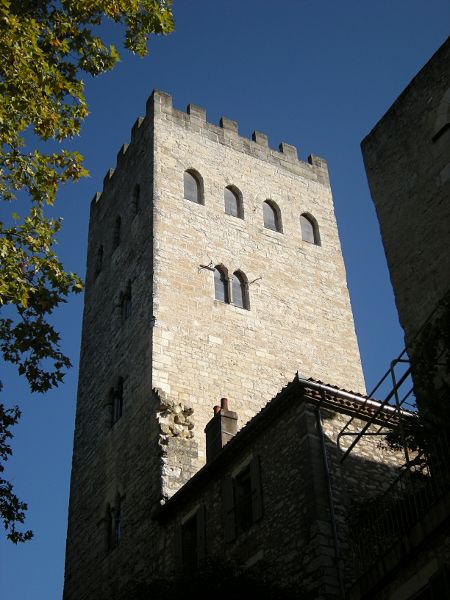
Tour du Pape Jean XXII, Cahors

Gallery (2)
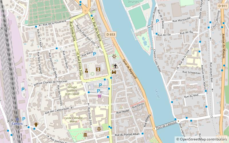
Map
Map
Gallery
Facts and practical information
Tour du Pape Jean XXII (address: 3 boulevard Léon Gambetta) is a place located in Cahors (Occitanie region) and belongs to the category of ruins, forts and castles.
It is situated at an altitude of 486 feet, and its geographical coordinates are 44°27'6"N latitude and 1°26'25"E longitude.
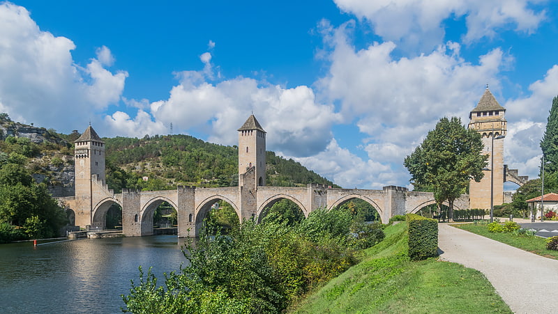
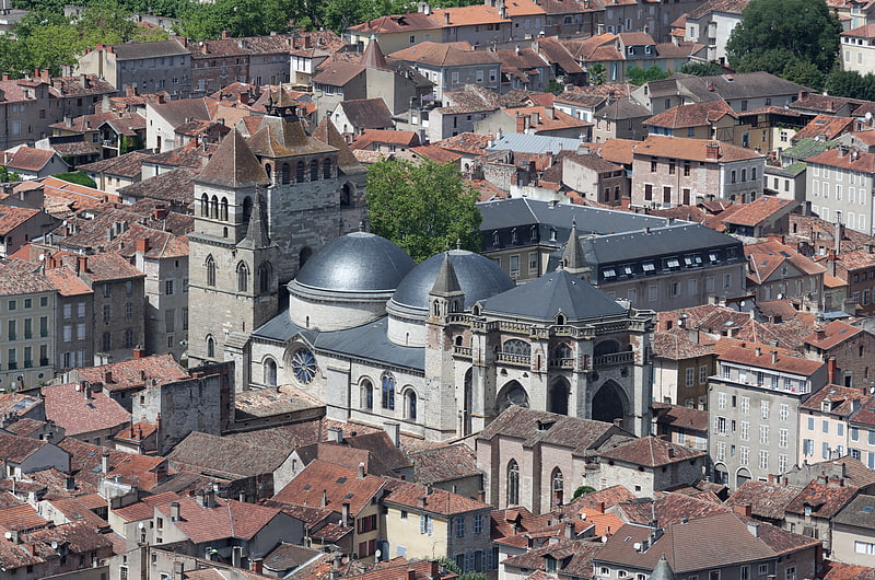
Among other places and attractions worth visiting in the area are: St. Bartholomew's Church (church, 1 min walk), Arc de Diane (ruins, 5 min walk), Cahors Cathedral (church, 9 min walk).
Coordinates: 44°27'6"N, 1°26'25"E
Day trips


Frequently Asked Questions (FAQ)
Which popular attractions are close to Tour du Pape Jean XXII?
Nearby attractions include St. Bartholomew's Church, Cahors (1 min walk), Arc de Diane, Cahors (5 min walk), Cahors Cathedral, Cahors (9 min walk), City Hall, Cahors (9 min walk).