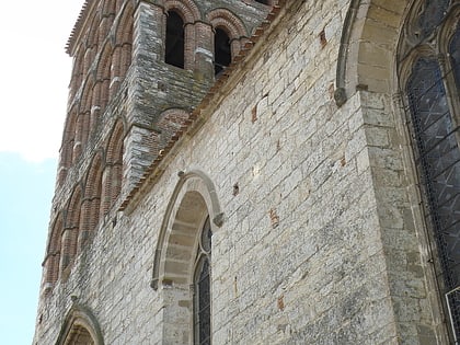
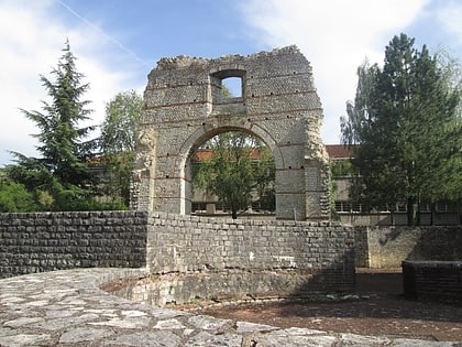
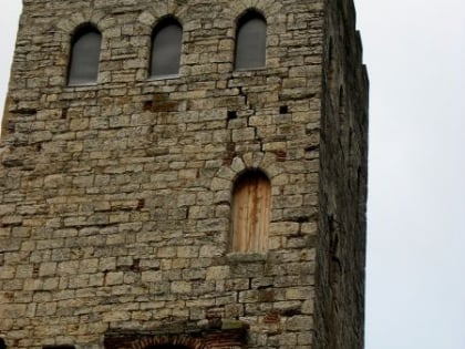
City Hall, Cahors
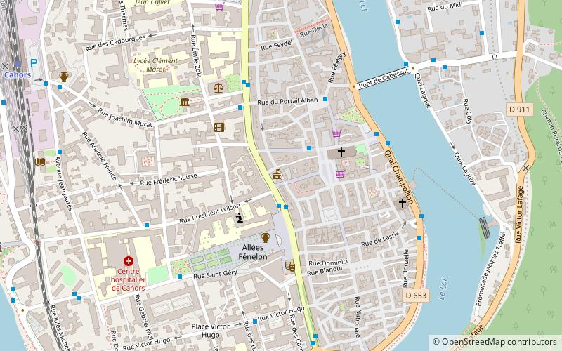
Map
Map

Facts and practical information
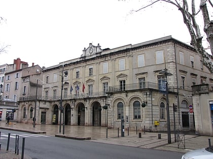
The city hall of Cahors is a historical monument located at 73, boulevard Léon-Gambetta in Cahors in the Lot.
Local name: Hôtel de villeCoordinates: 44°26'48"N, 1°26'28"E
Address
Cahors
ContactAdd
Social media
Add
Day trips
City Hall – popular in the area (distance from the attraction)
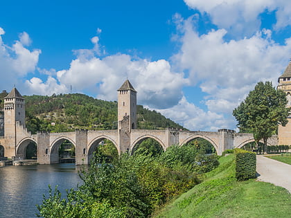
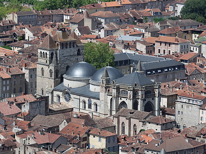
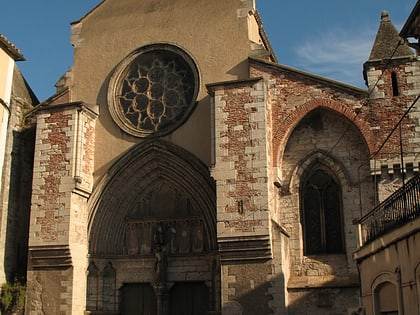
Nearby attractions include: Pont Valentré, Cahors Cathedral, Église Saint-Urcisse, St. Bartholomew's Church.
Frequently Asked Questions (FAQ)
Which popular attractions are close to City Hall?
Nearby attractions include Cahors Cathedral, Cahors (3 min walk), Église Saint-Urcisse, Cahors (5 min walk), Tour du Pape Jean XXII, Cahors (9 min walk), Arc de Diane, Cahors (9 min walk).
