Orelle

Gallery (1)
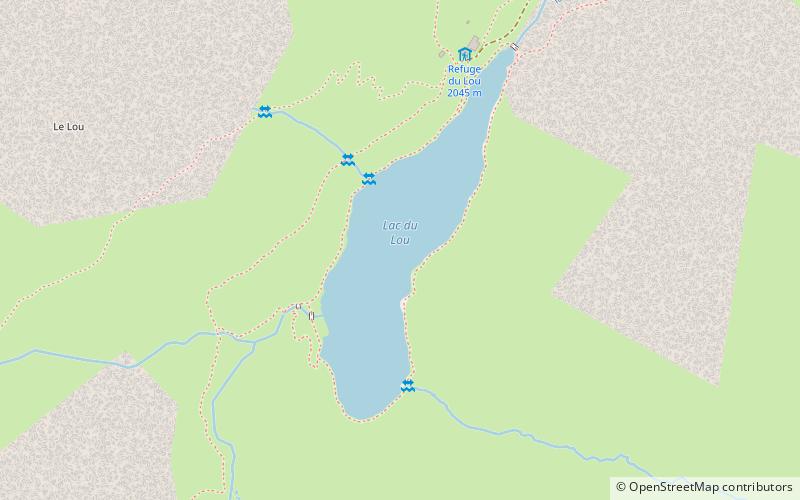
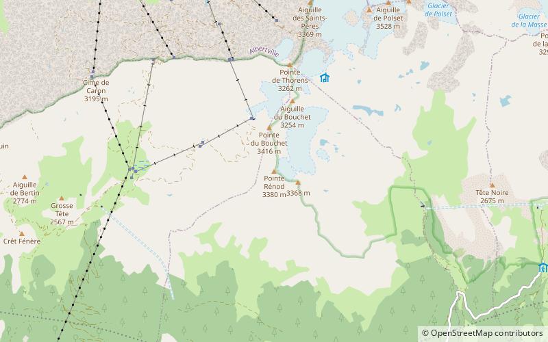
Map
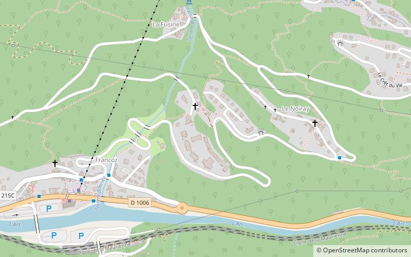
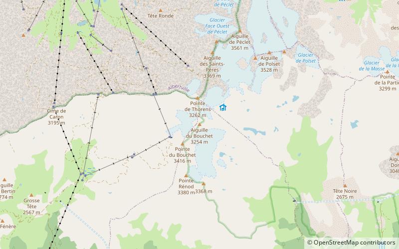
Map
Facts and practical information
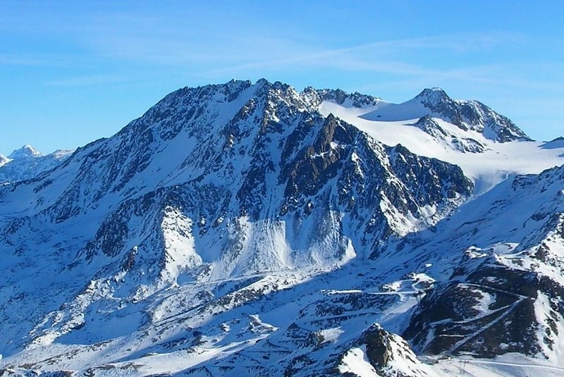
Orelle is a commune in the Savoie department in the Auvergne-Rhône-Alpes region in south-eastern France. ()
Day trips
Orelle is a commune in the Savoie department in the Auvergne-Rhône-Alpes region in south-eastern France. ()
Where to next? Visit ![]() Auvergne-Rhône-Alpes region page or discover the top tourist attractions in France.
Auvergne-Rhône-Alpes region page or discover the top tourist attractions in France.