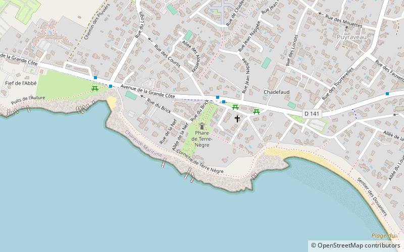
Phare de Terre-Nègre

Gallery (1)
Map
Map
Facts and practical information
The lighthouse of Terre-Nègre is an amer forming a cylindrical tower of a little more than 26 meters high.
Located on the tip of Terre-Nègre, in the commune of Saint-Palais-sur-Mer, in Charente-Maritime, it is intended to mark the southern channel of the Gironde estuary and to indicate the presence of a dangerous sandbar, the "barre à l'Anglais".
Coordinates: 45°38'46"N, 1°6'23"W
Location
New Aquitaine
ContactAdd
Social media
Add
Day trips


