Pic de Tenneverge

Gallery (1)
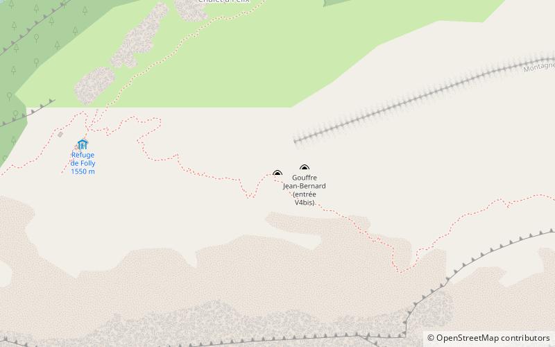
Map
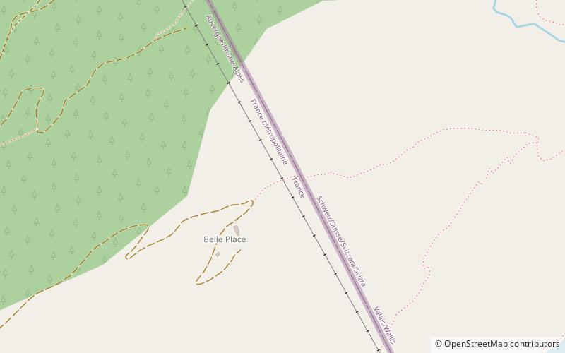
Map
Facts and practical information
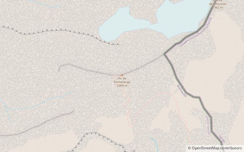
Pic de Tenneverge is a mountain of the Chablais Alps, located between the French department of Haute-Savoie and the Swiss canton of Valais. Its summit is 2,985 metre-high and lies within France, 300 metres west of the border with Switzerland. The mountain is located between Sixt-Fer-à-Cheval and Lac d'Emosson. ()
Location
Auvergne-Rhône-Alpes
ContactAdd
Social media
Add
Day trips