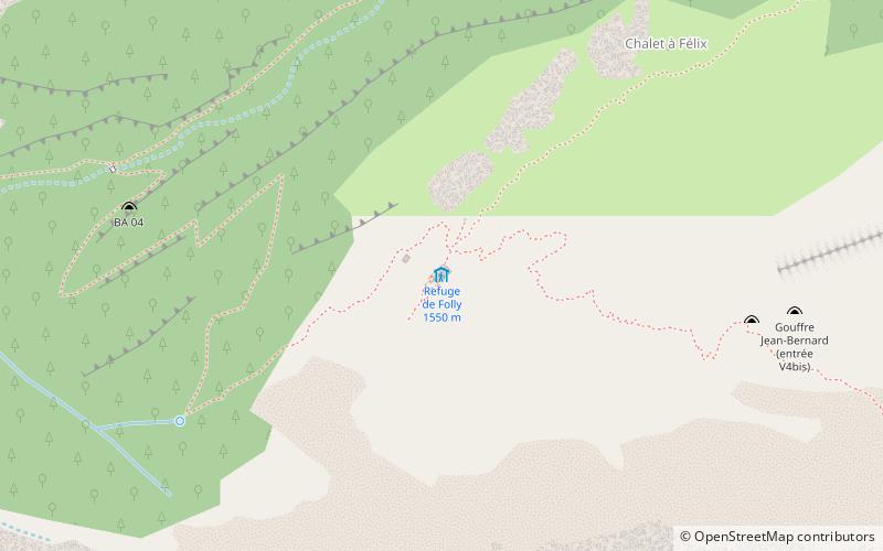
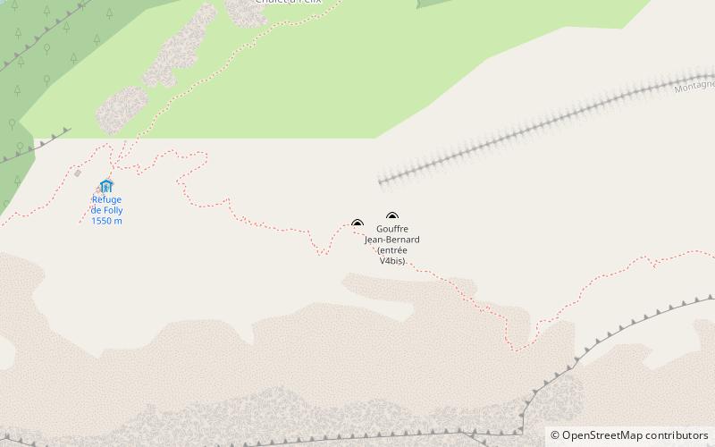
Refuge du Folly
#2901 among destinations in France


Facts and practical information
Auvergne-Rhône-AlpesFrance
Refuge du Folly – popular in the area (distance from the attraction)
Nearby attractions include: Jaÿsinia, Mont Buet, Lac de Gers, Pointe de Nyon.
 Garden, Park, Botanical garden
Jaÿsinia, Samoëns
64 min walk • Jaÿsinia is a botanical garden specializing in alpine flowers, located in Samoëns, Haute-Savoie, Rhône-Alpes, France. It is open daily except when there is snow on the ground; admission is free.
 Prominent peak with Mont Blanc views
Mont Buet
169 min walk • The Mont Buet is a mountain of the Chablais Alps in Haute-Savoie, France.
 Nature, Natural attraction, Lake
Lac de Gers, Samoëns
144 min walk • Lac de Gers is a lake above Samoëns in Haute-Savoie, France. The lake's water level varies seasonally up by 2 m. Its maximum surface area is 6.5 ha.
 Nature, Natural attraction, Mountain
Pointe de Nyon
99 min walk • Pointe de Nyon is a mountain in the Chablais Alps in Haute-Savoie, France.
 Towering mountain with a summit trail
Hauts-Forts
116 min walk • The Hauts-Forts is a mountain of the Chablais Alps, located east of Morzine in the French department of Haute-Savoie, within one kilometre of the Swiss border. The closest locality is Avoriaz, from where a cable car leads to its summit.
 Nature, Natural attraction, Mountain
Le Cheval Blanc Mountain
153 min walk • Le Cheval Blanc is a mountain in the Chablais Alps on the Swiss-French border. It overlooks the lake of Vieux Emosson on its eastern side.
 Nature, Natural attraction, Cave
Gouffre Jean-Bernard
8 min walk • Gouffre Jean-Bernard or Réseau Jean Bernard, sometimes known simply as Jean Bernard, is one of the deepest caves known in the world. It is in the Alps in Samoëns, France. The first entrance to the cave was found by the French caving group Groupe Vulcain in 1963.
 Nature, Natural attraction, Lake
Lac de la Vogealle
73 min walk • Lac de la Vogealle is a lake in Haute-Savoie, France. It is located below the Dents Blanches and nearby the Cirque de Sixt-Fer-à-Cheval at an elevation of 2001 m. The lake's surface area varies seasonally.
 Church
Church of Our Lady of the Assumption, Samoëns
65 min walk • The church Notre-Dame-de-l'Assomption de Samoëns is a former collegiate church, located in the department of Haute-Savoie, in the commune of Samoëns, France. It is one of the ancient collegiate churches of the Diocese of Geneva.
 Nature, Natural attraction, Mountain
Pic de Tenneverge
132 min walk • Pic de Tenneverge is a mountain of the Chablais Alps, located between the French department of Haute-Savoie and the Swiss canton of Valais. Its summit is 2,985 metre-high and lies within France, 300 metres west of the border with Switzerland. The mountain is located between Sixt-Fer-à-Cheval and Lac d'Emosson.
 Nature, Natural attraction, Mountain
Grenier de Commune
126 min walk • The Grenier de Commune is a mountain in the Chablais Alps in Haute-Savoie, France.
