Manoir de Lossulien, Le Relecq-Kerhuon
Map

Map

Facts and practical information
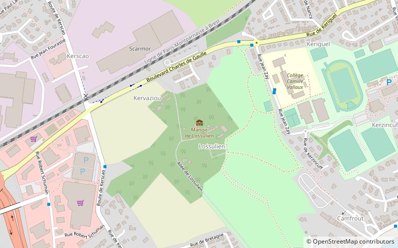
Manoir de Lossulien is a place located in Le Relecq-Kerhuon (Brittany region) and belongs to the category of forts and castles.
It is situated at an altitude of 52 feet, and its geographical coordinates are 48°24'2"N latitude and 4°24'4"W longitude.
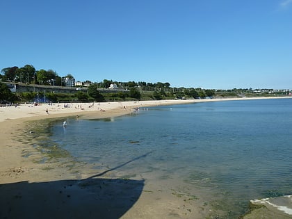
Among other places and attractions worth visiting in the area are: Pont de l'Iroise (bridge, 22 min walk), Plougastel Bridge (bridge, 24 min walk), Plage du Moulin Blanc, Brest (beach, 33 min walk).
Coordinates: 48°24'2"N, 4°24'4"W
Address
Le Relecq-Kerhuon
ContactAdd
Social media
Add
Day trips
Manoir de Lossulien – popular in the area (distance from the attraction)
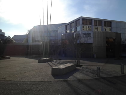
Nearby attractions include: Le Calvaire, Cinémathèque de Bretagne, Plougastel Bridge, Pont de l'Iroise.


