Le Mans Métropole, Le Mans
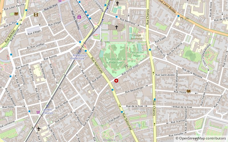
Map
Facts and practical information
The Communauté urbaine Le Mans Métropole is the communauté urbaine, an intercommunal structure, centred on the city of Le Mans. It is located in the Sarthe department, in the Pays de la Loire region, northwestern France. It was created in November 1971. Its area is 267.1 km2. Its population was 205,811 in 2018, of which 143,252 in Le Mans proper. ()
Getting there by public transportation
Public transportation stops near this location
- Bus
- Tram
- Train
 Bus
Bus
- Calculate routeVictor Hugo 2 min walk
- Calculate routePréfecture 4 min walk
- Calculate routeLa Fuie 4 min walk
- Calculate routeIfs 4 min walk
- Calculate routePréfecture 4 min walk
- Calculate routeLeclerc - Fleurus 7 min walk
- Calculate routeComtes du Maine - Office de tourisme 8 min walk
- Calculate routeRépublique 9 min walk
- Calculate routeLe Mans Gare Sud 14 min walk
Day trips


Frequently Asked Questions (FAQ)
Which popular attractions are close to Le Mans Métropole?
Nearby attractions include Abbey of Saint-Pierre de la Couture, Le Mans (4 min walk), Notre-Dame de la Couture, Le Mans (4 min walk), Chapelle de la Visitation, Le Mans (9 min walk), La Croix Rouge, Le Mans (14 min walk).
How to get to Le Mans Métropole by public transport?
The nearest stations to Le Mans Métropole:
Bus
Tram
Train
Bus
- Victor Hugo • Lines: 5 (2 min walk)
- Préfecture • Lines: 14, 5 (4 min walk)
Tram
- Préfecture • Lines: T1, T2 (4 min walk)
- Leclerc - Fleurus • Lines: T1, T2 (7 min walk)
Train
- Le Mans Gare Sud (14 min walk)