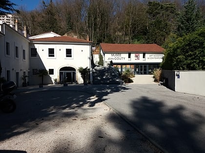
Île Barbe, Lyon
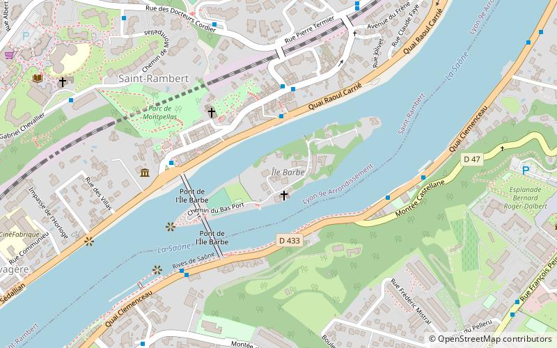
Map
Map

Facts and practical information
The Île Barbe is an island situated in the middle of the Saône, in the 9th arrondissement de Lyon, the quartier Saint-Rambert-l'Île-Barbe. Its name comes from the Latin insula barbara, "Barbarians' Island", suggesting that it was one of the last locales to be occupied. ()
Alternative names: Area: 12.11 acres (0.0189 mi²)Maximum elevation: 561 ftCoordinates: 45°47'52"N, 4°50'1"E
Address
Caluire-et-Cuire (Cuire)Lyon
ContactAdd
Social media
Add
Day trips
Île Barbe – popular in the area (distance from the attraction)
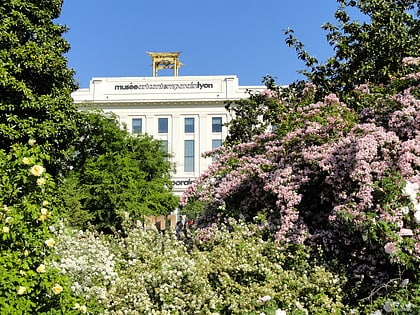
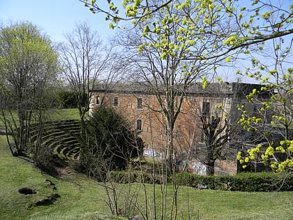
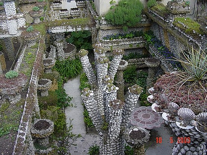
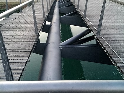
Nearby attractions include: Musée d'art contemporain de Lyon, Fort de Montessuy, Jardin Rosa Mir, Passerelle de la Paix.
Frequently Asked Questions (FAQ)
Which popular attractions are close to Île Barbe?
Nearby attractions include Église Notre-Dame - Saint-Rambert, Lyon (2 min walk), Musée Jean Couty, Lyon (6 min walk), Fort de Caluire, Lyon (10 min walk), Caluire-et-Cuire, Lyon (13 min walk).
How to get to Île Barbe by public transport?
The nearest stations to Île Barbe:
Bus
Trolleybus
Metro
Bus
- Union Nautique • Lines: 40 (5 min walk)
- Île Barbe • Lines: 40 (6 min walk)
Trolleybus
- Montessuy Calmette • Lines: C1 (17 min walk)
- Impasse Mathieu • Lines: C1 (19 min walk)
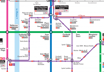
Metro
- Cuire • Lines: C (23 min walk)

 Metro
Metro