Théâtre de la Croix-Rousse, Lyon
Map
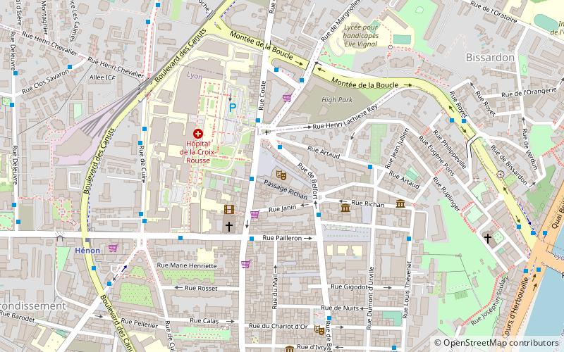
Map

Facts and practical information
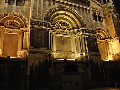
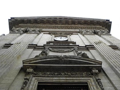
The Théâtre de la Croix-Rousse is a theater located in the 4th district of Lyon, on the Place Joannès-Ambre and built from the late 1920s. The designer of the place is Michel Roux-Spitz. In 1980, the architect Georges Bacconnier led a restoration of the interiors.
Coordinates: 45°46'51"N, 4°50'0"E
Address
2 Place Joannès AmbreLyon arrondissement 4E (Hôpital - Place Croix Rousse)Lyon
Contact
Social media
Add
Day trips
Théâtre de la Croix-Rousse – popular in the area (distance from the attraction)
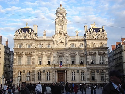
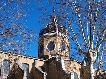
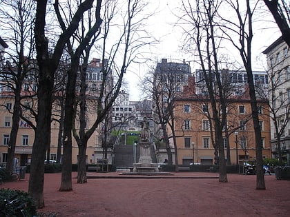
Nearby attractions include: City Hall, Church of Saint-Bruno des Chartreux, Place des Terreaux, Parc de la Cerisaie.
Frequently Asked Questions (FAQ)
Which popular attractions are close to Théâtre de la Croix-Rousse?
Nearby attractions include Jardin Rosa Mir, Lyon (2 min walk), Comptoir du Mail, Lyon (7 min walk), Rue Dumenge, Lyon (8 min walk), Boulevard de la Croix-Rousse, Lyon (9 min walk).
How to get to Théâtre de la Croix-Rousse by public transport?
The nearest stations to Théâtre de la Croix-Rousse:
Trolleybus
Bus
Metro
Ferry
Train
Trolleybus
- Joannes Ambre Hôpital entrée piéton • Lines: C13 (2 min walk)
- Hôpital Croix-Rousse • Lines: C13 (2 min walk)
Bus
- Hôpital Croix-Rousse • Lines: 38, S4 (3 min walk)
- Place Commandant Arnaud • Lines: S4 (2 min walk)
Metro
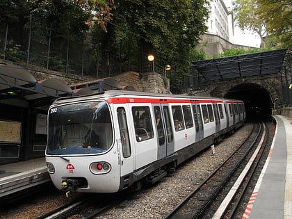
- Hénon • Lines: C (8 min walk)
- Cuire • Lines: C (8 min walk)
Ferry
- Saint-Paul - Hôtel de Ville • Lines: Vaporetto (26 min walk)
- Vaise • Lines: Vaporetto (32 min walk)
Train
- Lyon-Saint-Paul (28 min walk)

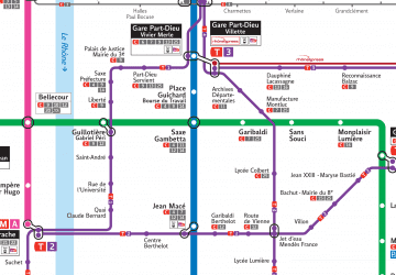 Metro
Metro