Île de la Cité, Paris
Map
Gallery
Facts and practical information
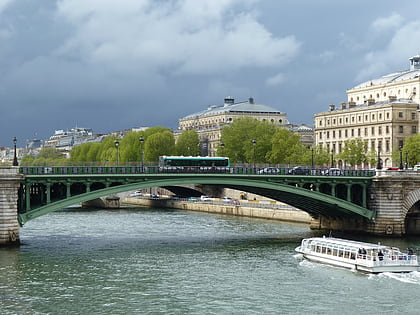
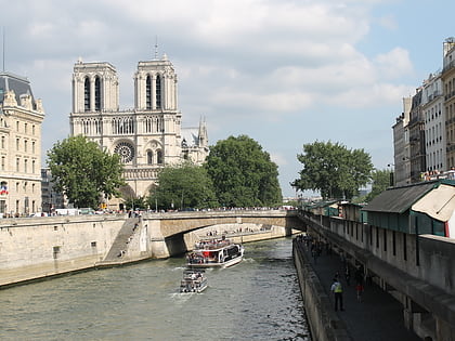
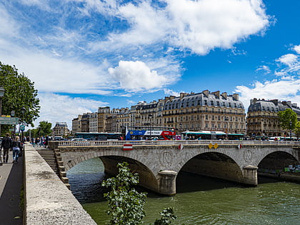
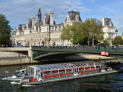
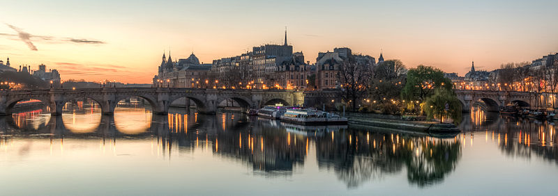
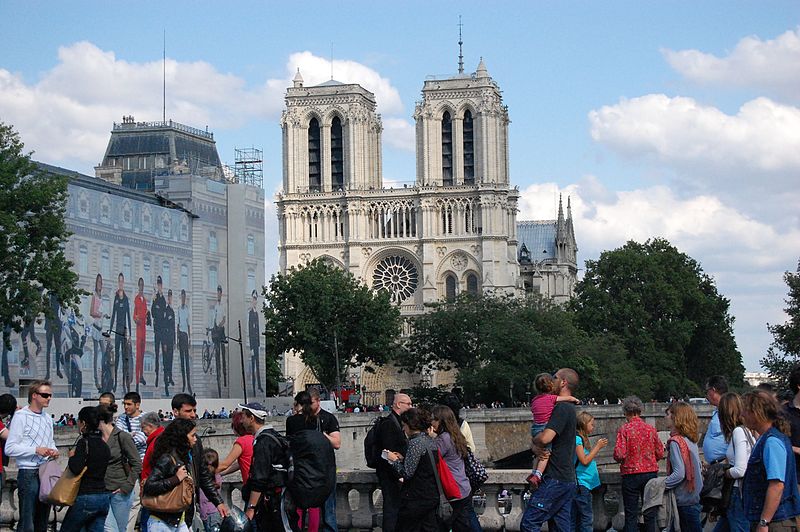
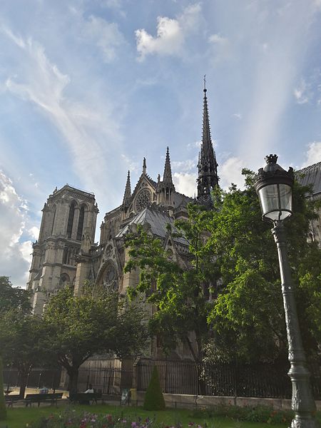
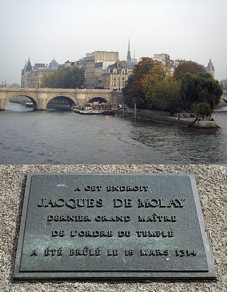
Île de la Cité is an island in the river Seine in the center of Paris. In the 4th century, it was the site of the fortress of the Roman governor. In 508 Clovis I, the first King of the Franks, established his palace on the island. In the 12th century it became an important religious center, the home of Notre-Dame cathedral, and the royal chapel of Sainte-Chapelle, as well as the city's first hospital: the Hôtel-Dieu. It is also the site of the city's oldest surviving bridge, the Pont Neuf. ()
Address
Hôtel-de-Ville (Notre Dame)Paris
ContactAdd
Social media
Add
Day trips
Île de la Cité – popular in the area (distance from the attraction)
Nearby attractions include: Notre-Dame de Paris, Sainte-Chapelle, Conciergerie, Charlemagne et ses Leudes.
Frequently Asked Questions (FAQ)
Which popular attractions are close to Île de la Cité?
Nearby attractions include Wallace fountain, Paris (1 min walk), Lutetia, Paris (1 min walk), Place Louis Lépine, Paris (1 min walk), Flower Market Queen Elizabeth II, Paris (2 min walk).
How to get to Île de la Cité by public transport?
The nearest stations to Île de la Cité:
Bus
Metro
Train
Ferry
Bus
- Cité - Parvis Notre-Dame • Lines: 47, 75, N15, N22 (1 min walk)
- Notre-Dame • Lines: Bleue, Verte (2 min walk)
Metro
- Cité • Lines: 4 (2 min walk)
- Saint-Michel • Lines: 4 (5 min walk)
Train
- Saint-Michel Notre-Dame (3 min walk)
- Châtelet - Les Halles (13 min walk)
Ferry
- Notre-Dame • Lines: Batobus (7 min walk)
- Hôtel-de-Ville • Lines: Batobus (8 min walk)



 Metro
Metro


