Town Hall, Plan-d'Aups-Sainte-Baume
Map

Map

Facts and practical information
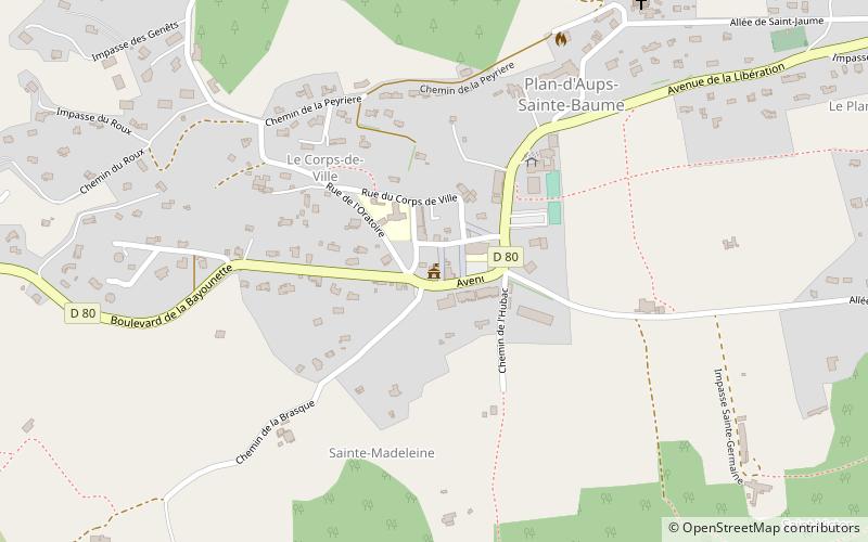
Town Hall (address: 83 D80) is a place located in Plan-d'Aups-Sainte-Baume (Provence-Alpes-Côte d'Azur region) and belongs to the category of city hall.
It is situated at an altitude of 2270 feet, and its geographical coordinates are 43°19'36"N latitude and 5°42'43"E longitude.
Among other places and attractions worth visiting in the area are: Pic de Bertagne (nature, 41 min walk), Sainte-Baume (nature, 52 min walk), Chapelle du Saint-Pilon (church, 68 min walk).
Coordinates: 43°19'36"N, 5°42'43"E
Address
83 D80Plan-d'Aups-Sainte-Baume 83640
Contact
+33 4 42 04 50 00
Social media
Add
Day trips
Town Hall – popular in the area (distance from the attraction)
Nearby attractions include: St. John the Baptist Church, Sainte-Baume, Circuit Paul Ricard, Chapelle du Saint-Pilon.
Frequently Asked Questions (FAQ)
When is Town Hall open?
Town Hall is open:
- Monday closed
- Tuesday 7 am - 11 pm
- Wednesday 7 am - 11 pm
- Thursday 7 am - 11 pm
- Friday 7 am - 11 pm
- Saturday 7 am - 11 pm
- Sunday 7 am - 11 pm


