Sainte-Baume

Gallery (1)
Map
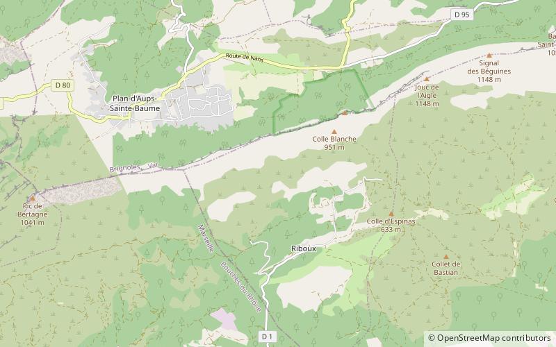
Map
Facts and practical information
The Sainte-Baume is a mountain ridge spreading between the departments of Bouches-du-Rhône and Var in Southern France. Its summit is 1147 metres high. ()
Location
Provence-Alpes-Côte d'Azur
ContactAdd
Social media
Add
Day trips