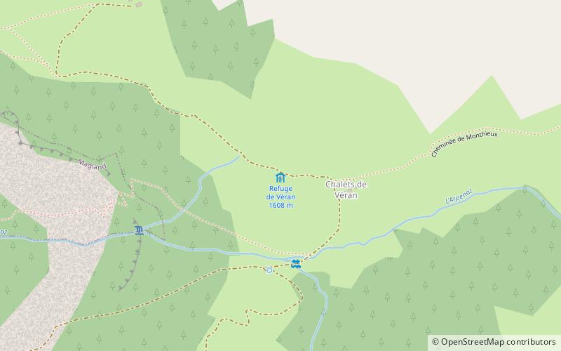
Refuge de Véran, Flaine
#3 among attractions in Flaine

Facts and practical information
Refuge de Véran is a refuge in the Alps. ()
Flaine France
Flaine plan & book
Unleash the traveler in you — discover the cheapest flight deals, find the perfect hotel or hostel nearby, and search for the best car rental prices. Travel at your own pace to discover new places and enjoy your journey.
Refuge de Véran – popular in the area (distance from the attraction)
Nearby attractions include: Lac Vert, Tête du Colonney, Église Notre-Dame de Toute Grâce du Plateau d'Assy, Refuge de Tornieux.
 Natural attraction, Body of water, Park
Lac Vert, Passy
115 min walk • Lac Vert is a lake in the municipality of Passy, Haute-Savoie, France.
 Nature, Natural attraction, Mountain
Tête du Colonney, Flaine
29 min walk • Tête du Colonney is a mountain in the Chablais Alps in Haute-Savoie, France. Standing above the Plateau d'Assy, the mountain provides unobscured views of Mont Blanc to the southeast from its summit. It can be reached by cable car in the winter from Flaine.
 Church
Église Notre-Dame de Toute Grâce du Plateau d'Assy, Passy
86 min walk • The church of Notre-Dame de Toute Grâce du Plateau d'Assy is a Roman Catholic church in France, constructed on the plateau d'Assy between 1937 and 1946. It faces Mont Blanc, and is within the territory of the commune of Passy, in the Haute-Savoie department.

 Prominent mountain for hiking and climbing
Pointe Percée
147 min walk • The Pointe Percée is the highest mountain in the Aravis range of the French Prealps in Haute-Savoie. It rises to 2753 meters and has 1643 m of prominence, and is thus is classified as an ultra prominent peak. Its first documented climb was by M. L.
 Nature, Natural attraction, Lake
Lac de Gers, Samoëns
111 min walk • Lac de Gers is a lake above Samoëns in Haute-Savoie, France. The lake's water level varies seasonally up by 2 m. Its maximum surface area is 6.5 ha.
 Nature, Natural attraction, Mountain
Pointe d'Areu
110 min walk • Pointe d'Areu is a mountain of Haute-Savoie, France. It lies in the Aravis Range, above Oëx in the Arve valley, and has an altitude of 2478 metres above sea level.
 Natural attraction, Mountain
Pointe d'Anterne, Passy National Nature Reserve
141 min walk • Pointe d'Anterne is a mountain of Haute-Savoie, France. It lies in the Chablais Alps. It has an altitude of 2733 metres above sea level.
 Nature, Natural attraction, Lake
Lac de Flaine, Flaine
40 min walk • Lac de Flaine is a lake at Flaine in Haute-Savoie, France. Its surface and depth vary seasonly. Maximum depth can reach 10.5 m in May and only 0.75 m in winter, while the surface area varies from 12 ha to 1.5 ha.
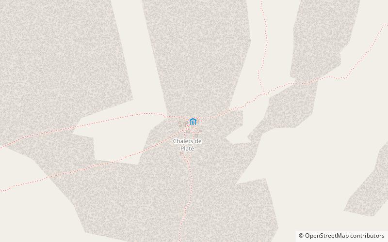 Alpine hut, Hiking
Refuge de Platé
62 min walk • Refuge de Platé is a refuge located on the "Tour des Fiz", in Haute Savoie, facing Mont Blanc in the Alps.
 Nature, Natural attraction, Mountain
Aravis Range
147 min walk • The Aravis is a mountain range in Savoie and Haute-Savoie, eastern France. It is part of the French Prealps, a lower chain of mountain ranges west of the main chain of the Alps. Its highest summit is the Pointe Percée, at 2753m.


