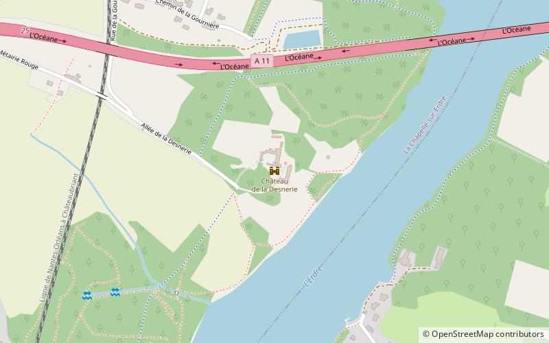
Château de la Desnerie, Nantes

Gallery (1)
Map
Map
Facts and practical information
The Château de la Desnerie is a castle located in La Chapelle-sur-Erdre, in France.
Coordinates: 47°16'21"N, 1°32'8"W
Address
Nantes
ContactAdd
Social media
Add
Getting there by public transportation
Public transportation stops near this location
- Bus
- Tram
- Train
 Bus
Bus
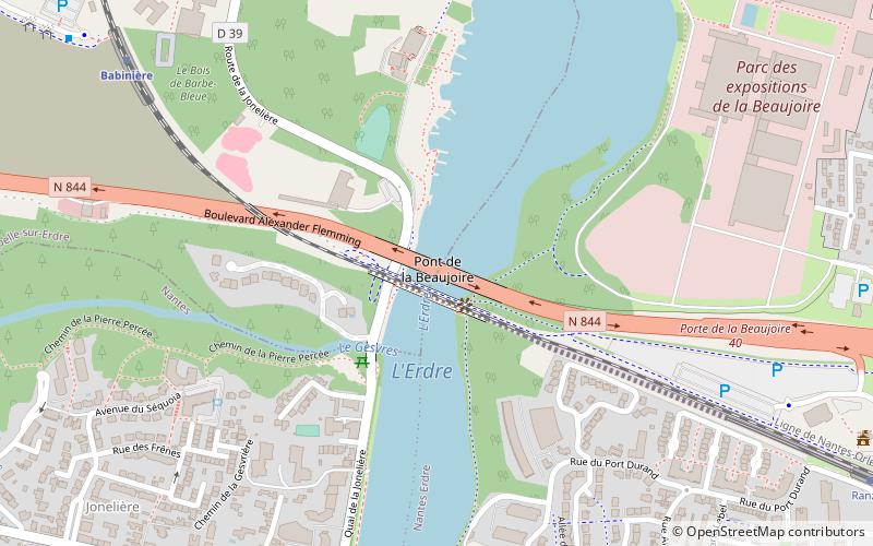
- Calculate routeLa Desnerie 12 min walk
- Calculate routeLa Chesnaie 17 min walk
- Calculate routeLinot 18 min walk
- Calculate routeGournière 19 min walk
- Calculate routeErdre Active 22 min walk
- Calculate routeBabinière 27 min walk
- Calculate routeBeaujoire 28 min walk
- Calculate routeHalvêque 33 min walk
Day trips


Frequently Asked Questions (FAQ)
How to get to Château de la Desnerie by public transport?
The nearest stations to Château de la Desnerie:
Bus
Train
Tram
Bus
- La Desnerie • Lines: Lc/E-Est (12 min walk)
- La Chesnaie • Lines: Lc/E-Est (17 min walk)
Train
- Erdre Active (22 min walk)
- Babinière (27 min walk)
Tram
- Beaujoire • Lines: 1 (28 min walk)
- Halvêque • Lines: 1 (33 min walk)