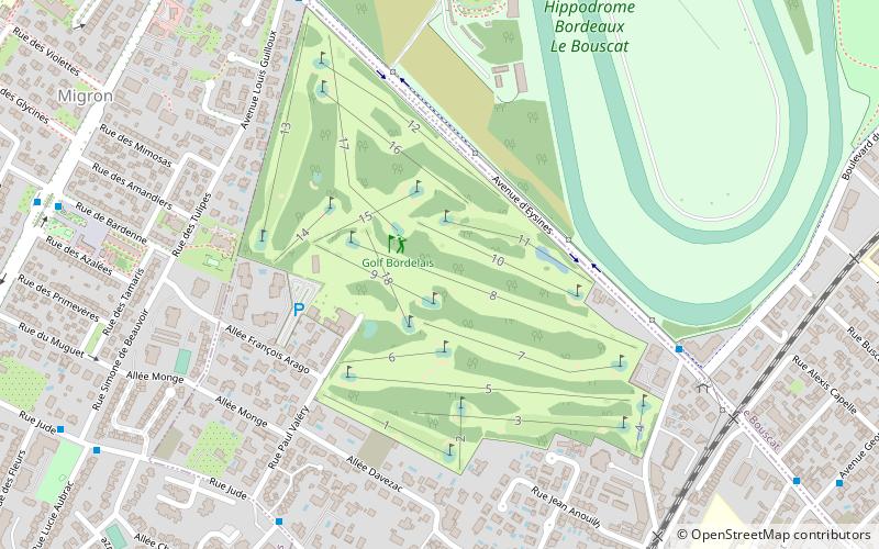
Golf Bordelais, Bordeaux


Facts and practical information
Golf Bordelais (address: 9 allée François Arago, Domaine de Kater) is a place located in Bordeaux (New Aquitaine region) and belongs to the category of golf.
It is situated at an altitude of 89 feet, and its geographical coordinates are 44°52'4"N latitude and 0°37'42"W longitude.
Planning a visit to this place, one can easily and conveniently get there by public transportation. Golf Bordelais is a short distance from the following public transport stations: Pins Francs (bus, 7 min walk), Hippodrome - Terminus partiel (tram, 11 min walk).
Among other places and attractions worth visiting in the area are: St. Peter's Church (church, 35 min walk), Bruges (area, 35 min walk), Le Bouscat (area, 37 min walk).
9 allée François Arago, Domaine de KaterLestonat - MonsejourBordeaux
Golf Bordelais – popular in the area (distance from the attraction)
Nearby attractions include: Jardin botanique de Bordeaux, Château Bel Air, Patinoire de Mériadeck, Château de Blanquefort.
Frequently Asked Questions (FAQ)
How to get to Golf Bordelais by public transport?
Bus
- Pins Francs • Lines: 12 (7 min walk)
- Avenue du Taillan • Lines: 12, 2, 35 (9 min walk)
Tram
- Hippodrome - Terminus partiel • Lines: D (11 min walk)
- Champ de courses - Treulon • Lines: D (18 min walk)


