Pics de la Font Sancte
Map

Map

Facts and practical information
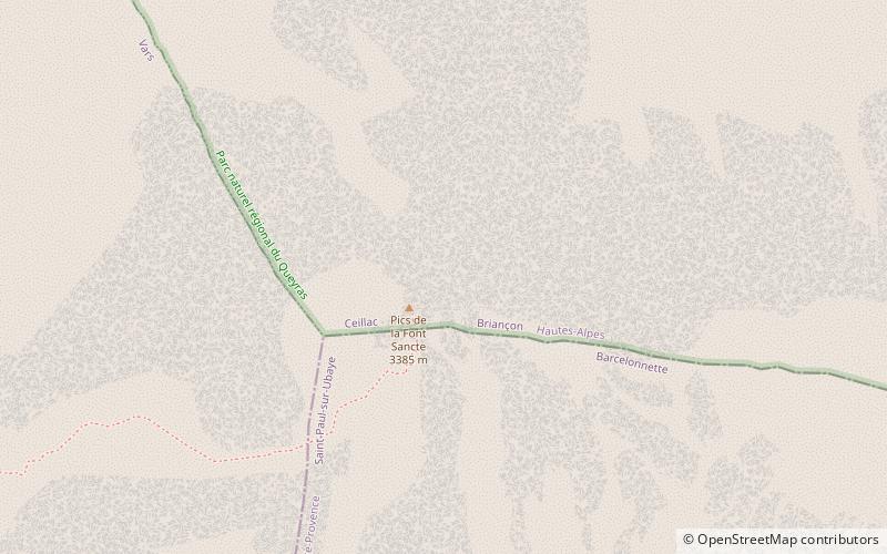
The Pics de la Font Sancte is a mountain with two summits between the upper Ubaye Valley, Val Escreins and the Ceillac Valley, at the edge of the Queyras Regional Park. It is the highest peak of the Escreins Massif in the southern Cottian Alps in Hautes-Alpes, France. Its northern summit is 3,385 metres high and its south summit 3,371 metres. They take their name from the Font Sancte, a source that springs from the rock in the valley at the foot of the peaks at 2,358 m. ()
Location
Provence-Alpes-Côte d'Azur
ContactAdd
Social media
Add
Day trips
Pics de la Font Sancte – popular in the area (distance from the attraction)
Nearby attractions include: Lac Miroir, Aiguille de Chambeyron, Brec de Chambeyron, Église Saint-Antoine-du-Désert de Maurin.


