Les Gorges du Fier, Annecy
Map

Map

Facts and practical information
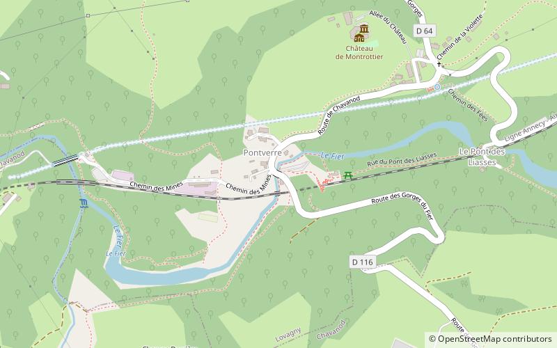
The gorges of the Fier are a remarkable natural curiosity of France, in Haute-Savoie: a very narrow and deep gorge that can be visited thanks to a footbridge fixed on the side of the rock, built in 1869 by the Annecy architect Marius Vallin and classified since 1943. This gorge was cut by the powerful torrent of the Fier in the commune of Lovagny, some eleven kilometers west of Annecy.
Elevation: 1276 ft a.s.l.Coordinates: 45°53'45"N, 6°2'11"E
Day trips
Les Gorges du Fier – popular in the area (distance from the attraction)
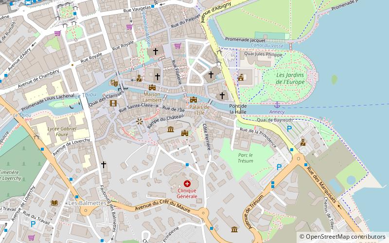
Nearby attractions include: Château d'Annecy, Annecy Cathedral, Château de Montrottier, Palais de l'Isle.
Frequently Asked Questions (FAQ)
How to get to Les Gorges du Fier by public transport?
The nearest stations to Les Gorges du Fier:
Bus
Bus
- Chavanod • Lines: 16 (12 min walk)
- Étang • Lines: 16 (14 min walk)


