Refuge du Châtelleret, Écrins National Park
Map

Map

Facts and practical information
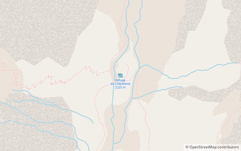
The Châtelleret hut is located in France in the Écrins massif on the commune of Saint-Christophe-en-Oisans, between La Bérarde and the Promontoire hut. It overlooks the south face of La Meije.
This refuge was built on the same place where Pierre Gaspard bivouacked during the first ascent of Meije, in 1877.
The manager is the Comité départemental de l'Isère.
From La Bérarde the difference in altitude is 510 m for an ascent time of 2 hours.
Coordinates: 44°58'33"N, 6°17'58"E
Address
Écrins National Park
ContactAdd
Social media
Add
Day trips
Refuge du Châtelleret – popular in the area (distance from the attraction)
Nearby attractions include: Meije, Aiguille Dibona, Grande Ruine, Roche Faurio.


