Roche de la Muzelle, Écrins National Park

Gallery (1)
Map
Map
Facts and practical information
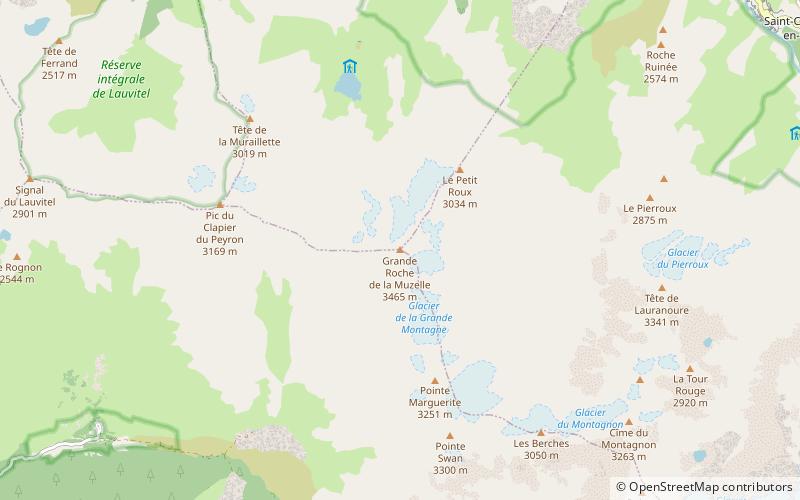
The Roche de la Muzelle is the most western peak of the Massif des Ecrins. Located near Les Deux Alpes, the mountain - with its beautiful pyramid - dominates the resort from the south. ()
Alternative names: First ascent: 1875Elevation: 11368 ftProminence: 1736 ftCoordinates: 44°55'51"N, 6°6'22"E
Address
Écrins National Park
ContactAdd
Social media
Add
Day trips


